
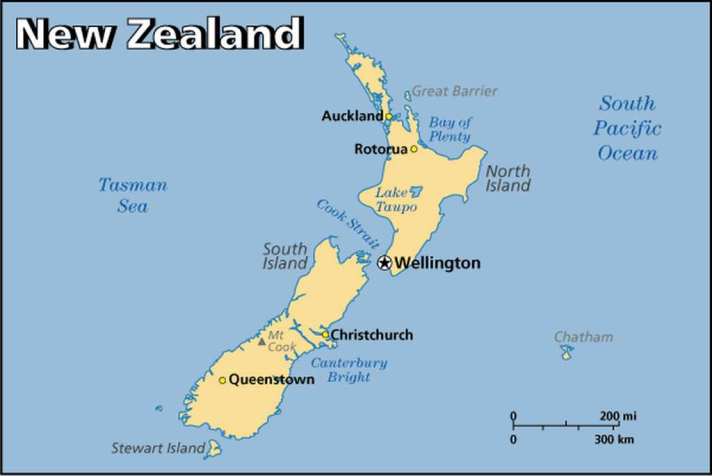
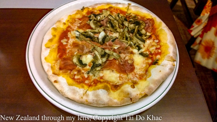
The first time I visited New Zealand , every trip to New Zealand presents a mix of landscapes and cultures that’s at once familiar to me, and yet quirkily different. The rolling hills and hedgerows collude with the irreverent, easygoing locals to disarm, distract and delight. Māori culture is potent, the surf is world class, and the craft beer is awesome. NZ presents the best of old and new worlds with social and environmental sensibility: a template for a new world order, perhaps? I love NZ!
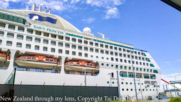
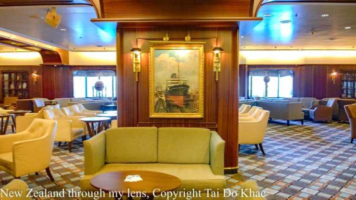
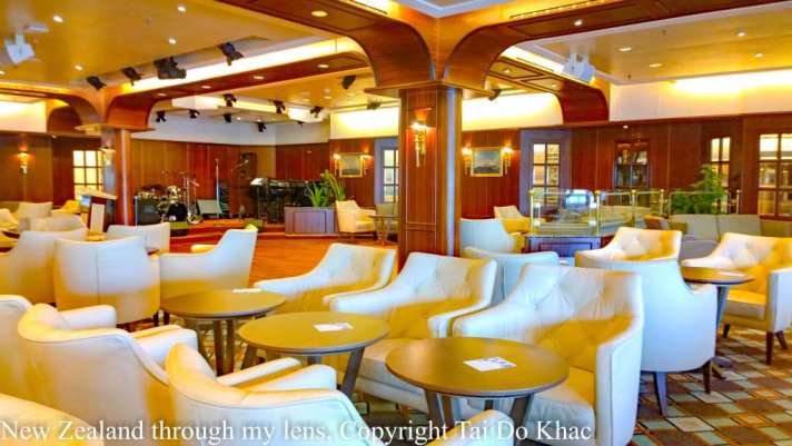
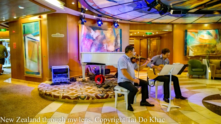
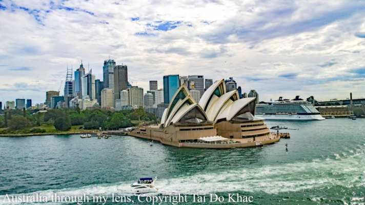
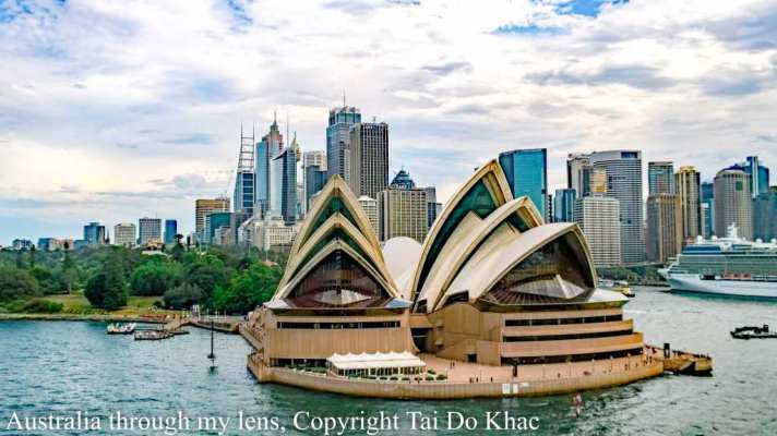
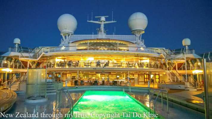
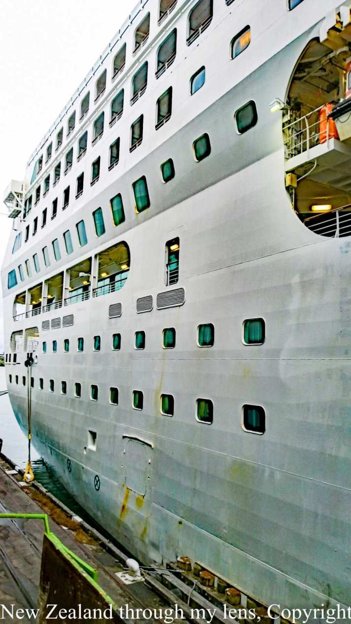
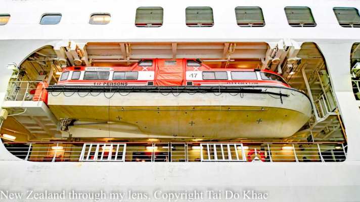
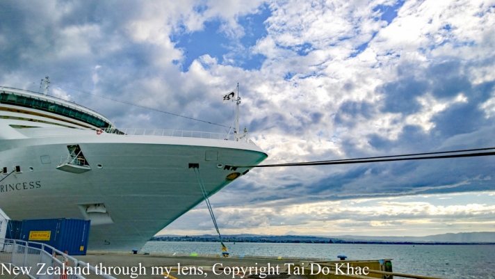
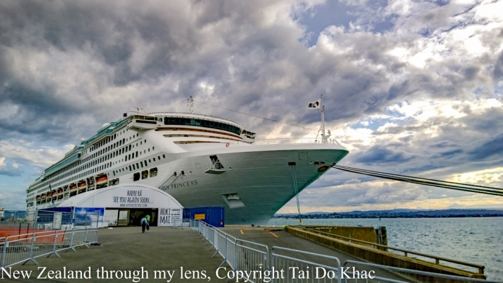
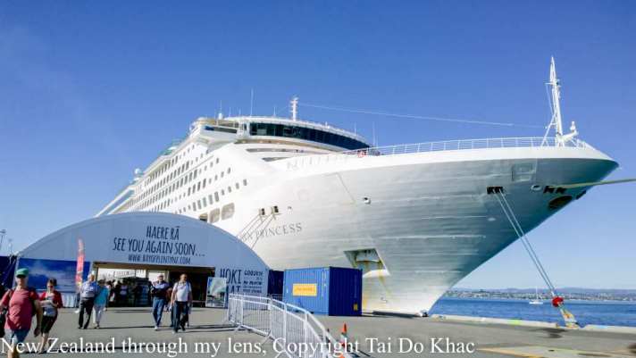
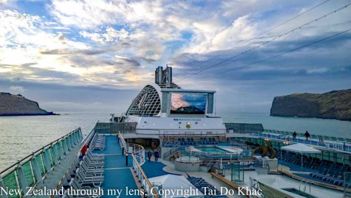
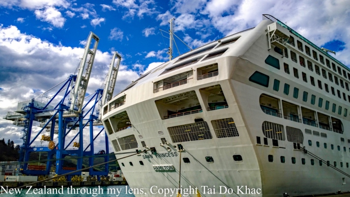
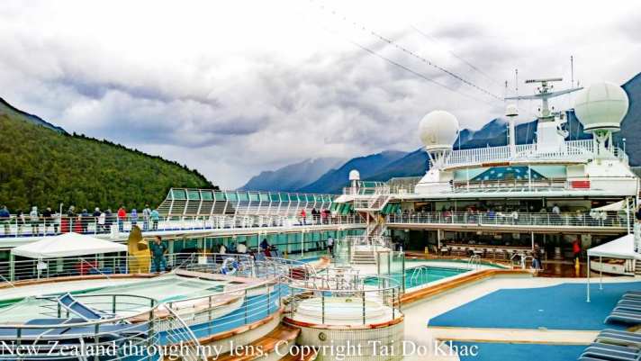
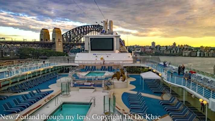
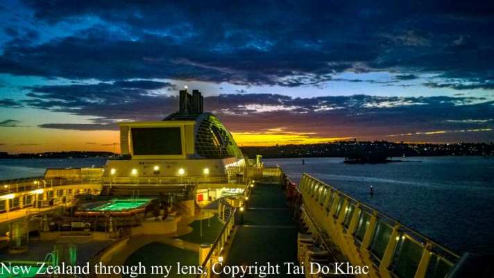
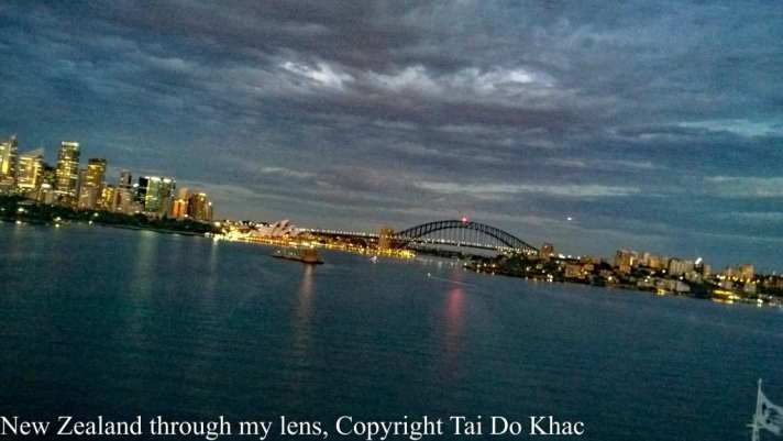
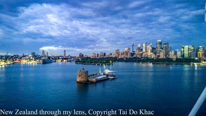
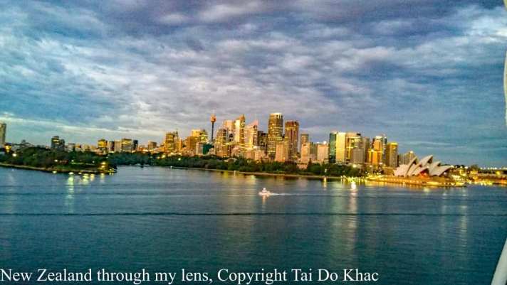
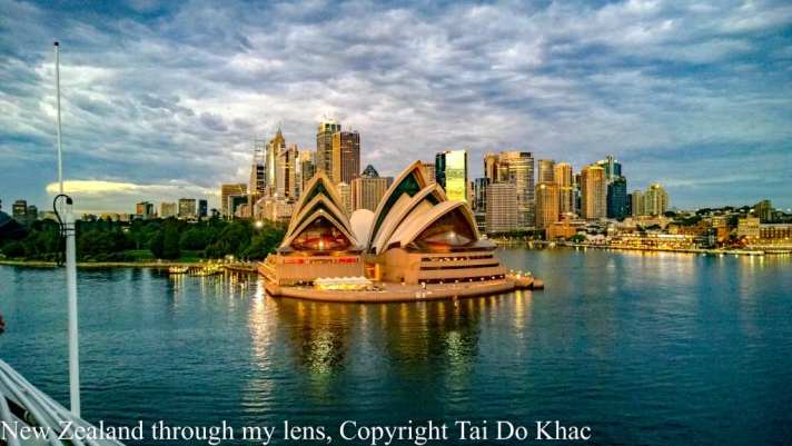
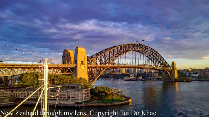
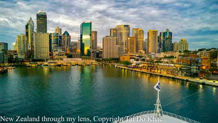
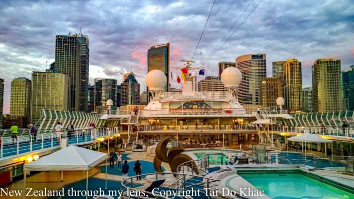
Dawn Princess Cruise Sydney – New Zealand
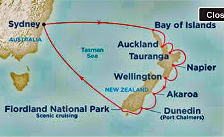
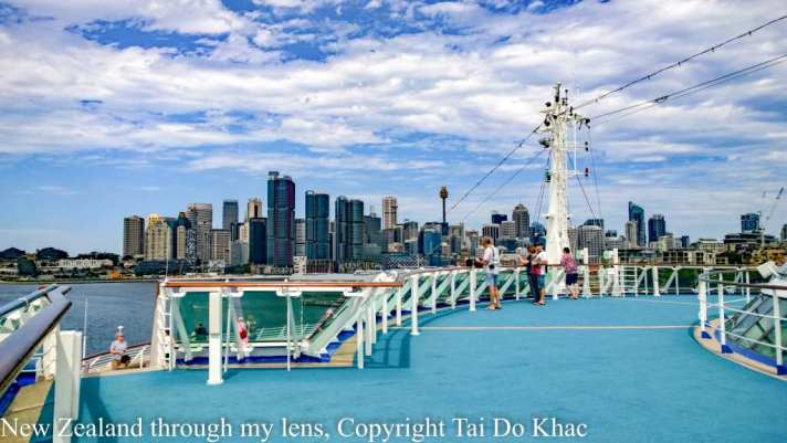
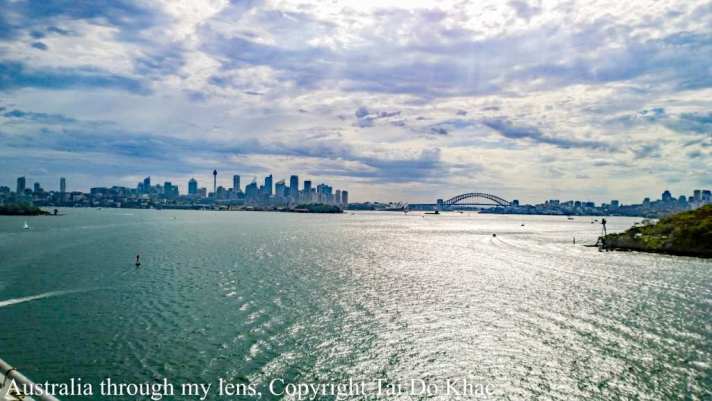
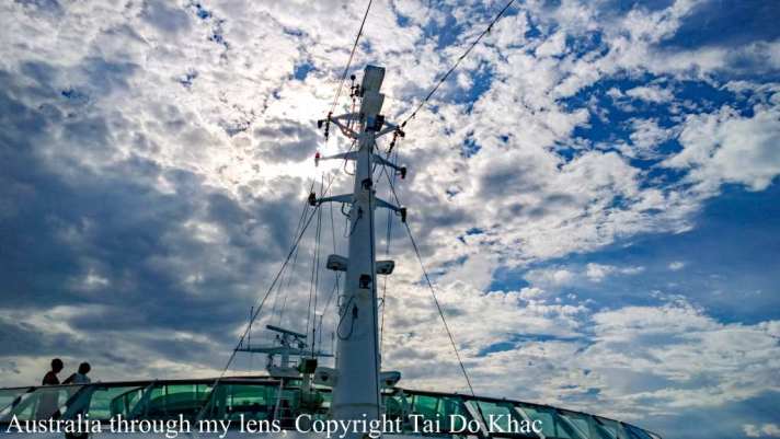
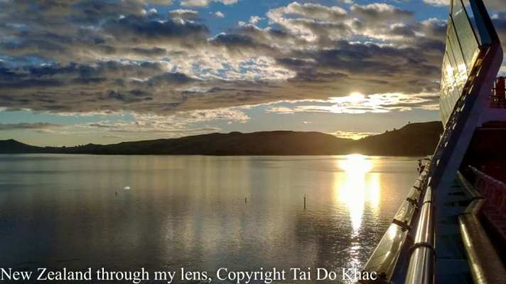
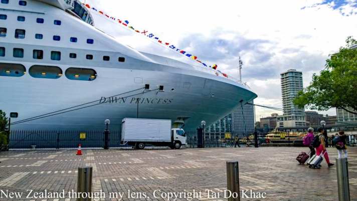
05 February 2017 Sydney 16:00
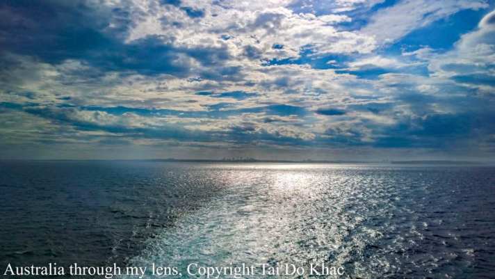
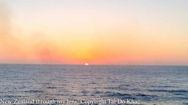
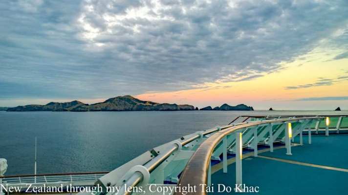
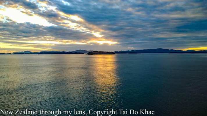
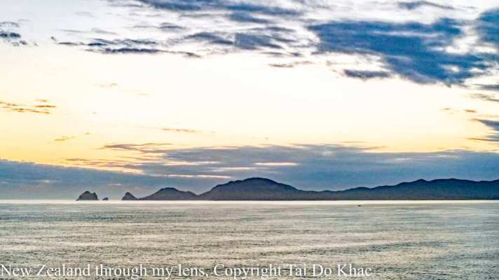
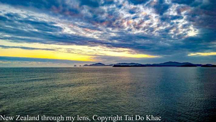
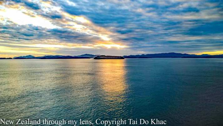
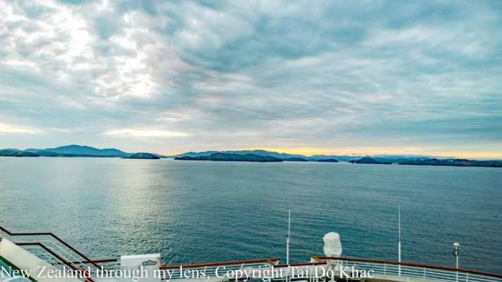
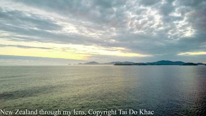
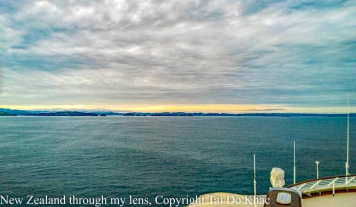
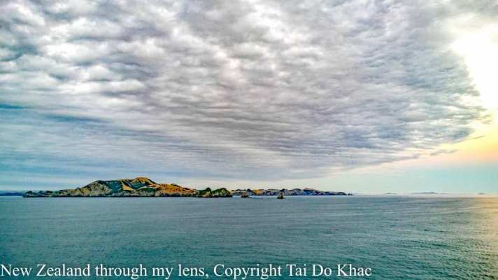
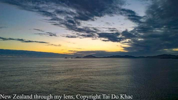
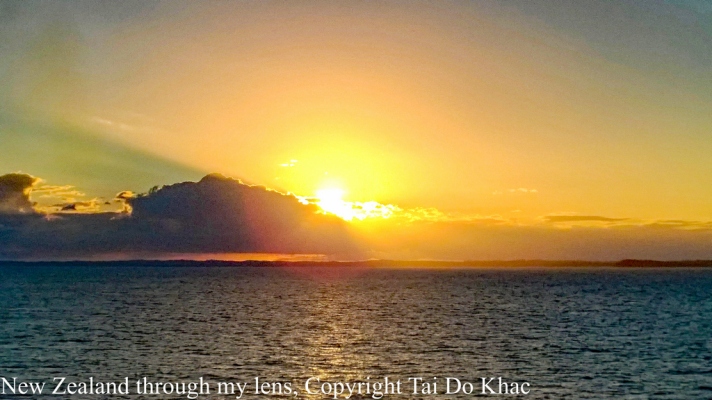
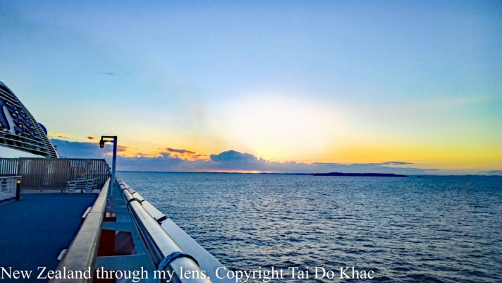
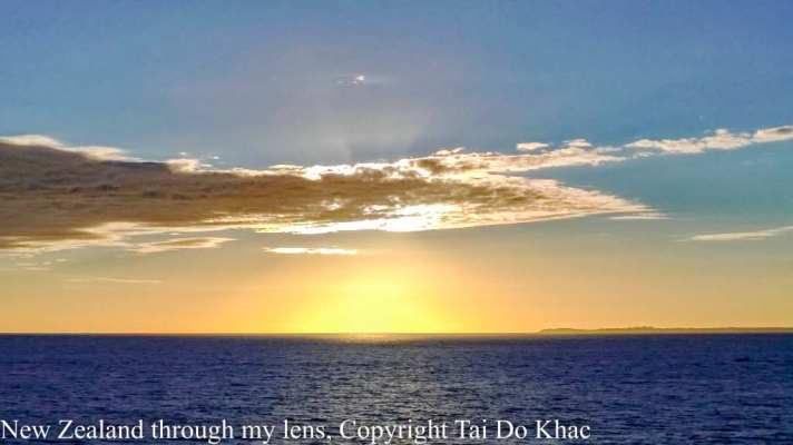
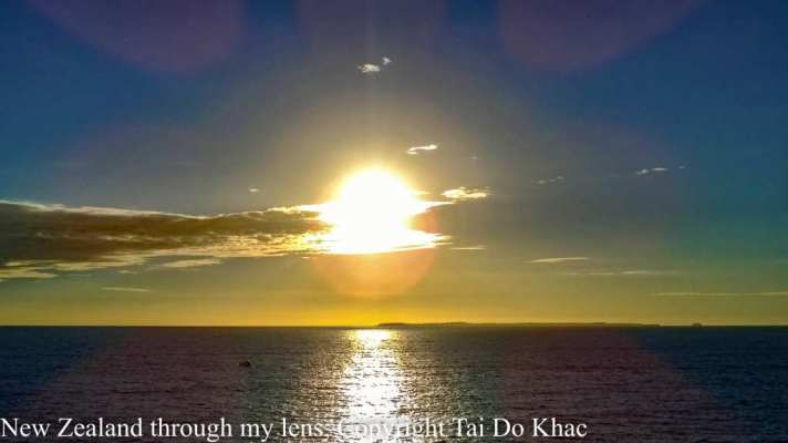
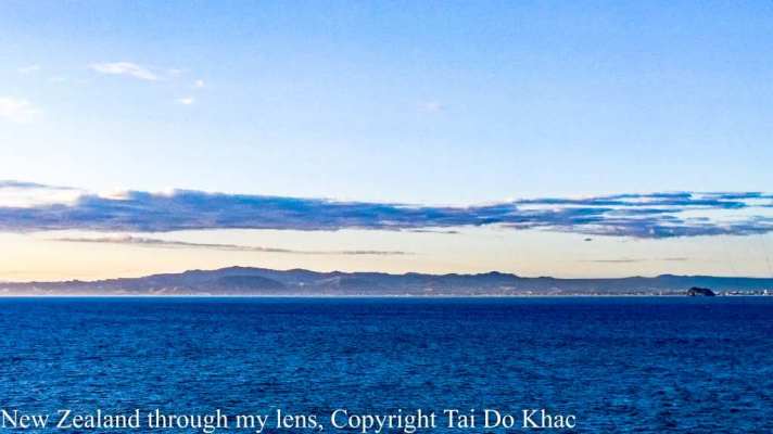
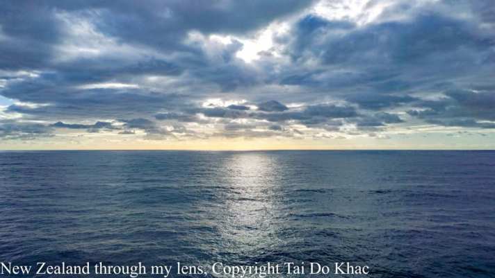
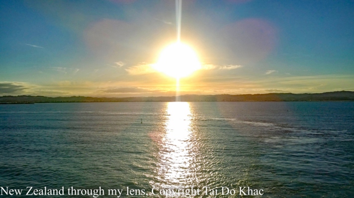
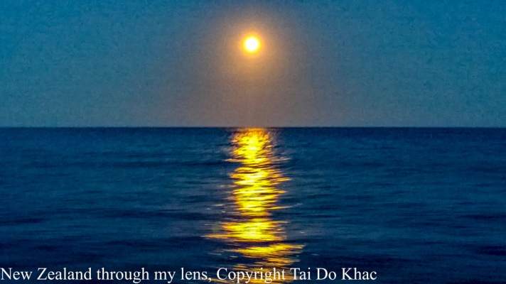
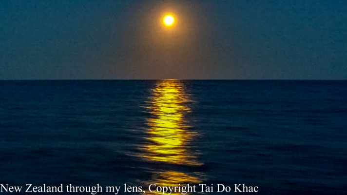
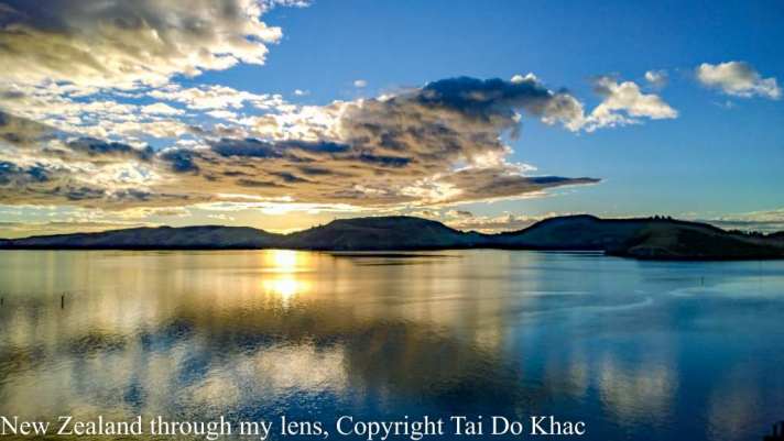
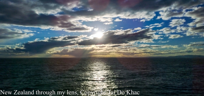
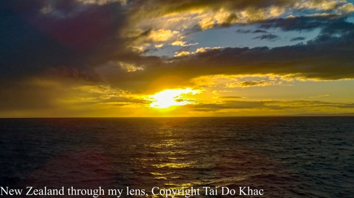
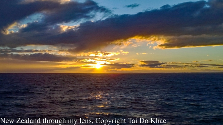
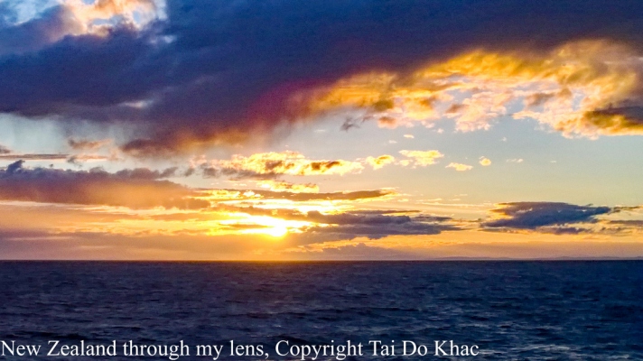
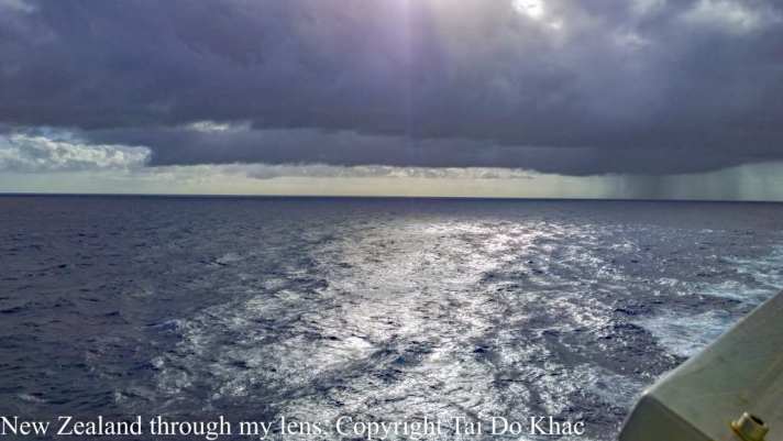
06 February 2017 on Tasman Sea
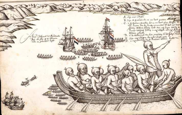
Als Tasmansee wird die Wasserfläche zwischen Australien und Neuseeland bezeichnet. Sie ist ein südwestlicher Teil des Südpazifik. Der Name ehrt den holländischen Entdecker Abel Tasman, der 1642/1643 auf Entdeckungsreise ging und dabei auch Neuseeland und Tasmanien entdeckte. Um 1770 erforschte der britische Entdecker James Cook das Gebiet während seiner ersten Entdeckungsreise.
Zur Tasmansee rechnet die Internationale Hydrographische Organisation die Flächen östlich der australischen Staaten New South Wales, Victoria und Tasmanien. Das weiter im Norden befindliche Queensland schließt an das Korallenmeer. Die Grenze der Bundesstaaten dient auch als Demarkierung dieser beiden Meere.
Die Tasmansee ist 2800 km lang und bis zu 2000 km breit, die Flächenausdehnung beträgt 2.331.000 km². Ihre größte Tiefe erreicht sie mit 5200 m im Tasmanischen Becken.
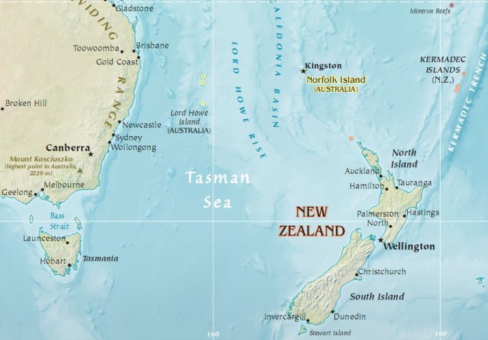
Biển Tasman là vùng biển rộng giữa Úc và New Zealand, khoảng 2.000 km (1.250 dặm). Đây là một đoạn tây nam của khu Nam Thái Bình Dương. Biển này được đặt theo tên nhà thám hiểm Hà Lan Abel Janszoon Tasman, người châu Âu đầu tiên đã tới New Zealand và Tasmania. Sau đó thuyền trưởng James Cook, nhà thám hiểm người Anh đã lái tàu đi khắp biển Tasman trong thập niên 1770 trong lần du hành thám hiểm đầu tiên của ông ta.
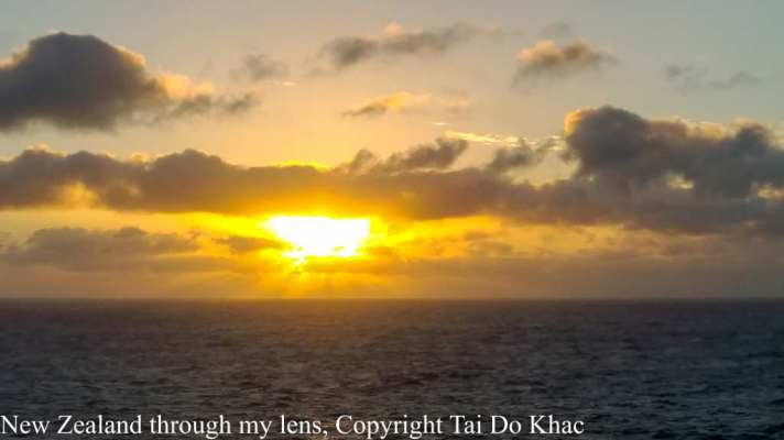
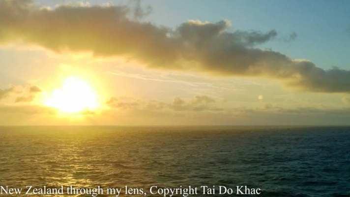
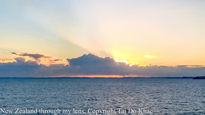
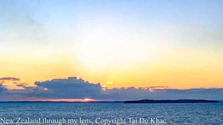
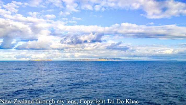
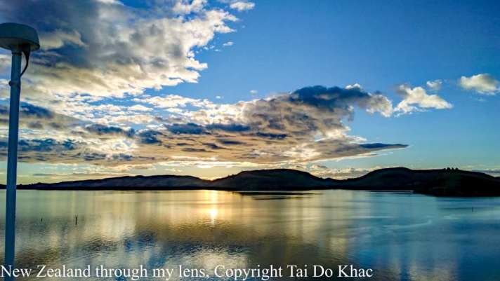
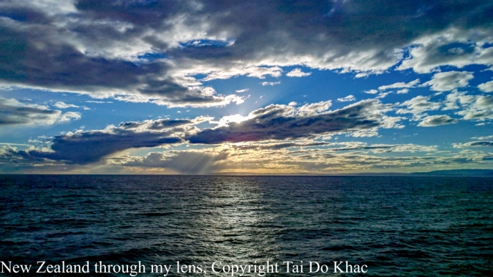
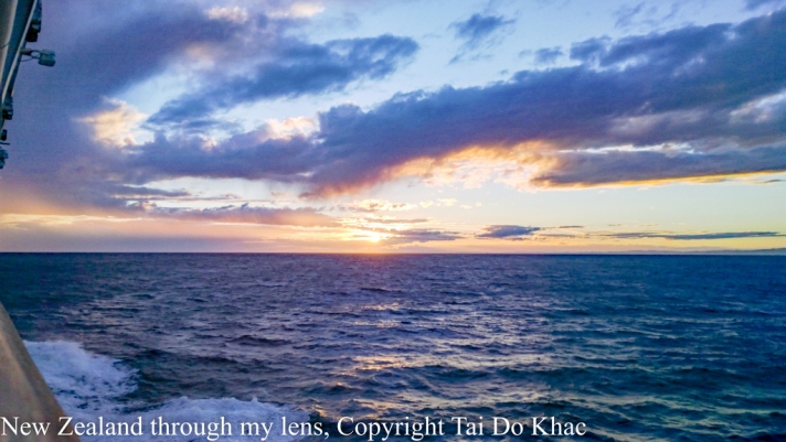
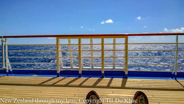
07 February 2017 on Tasman Sea
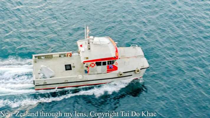
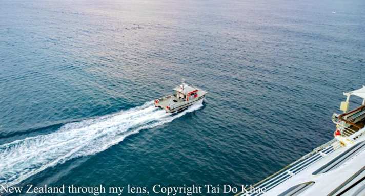
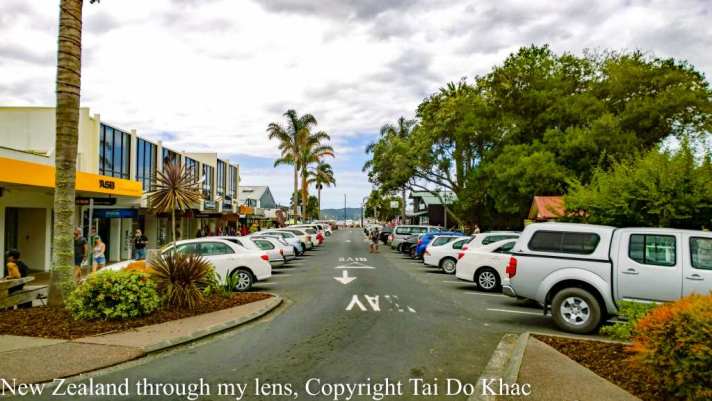
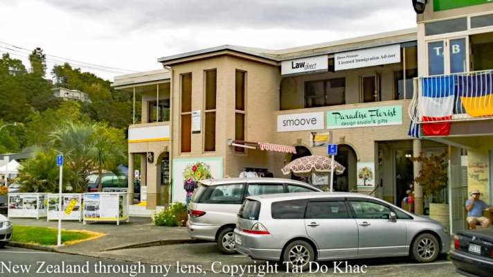
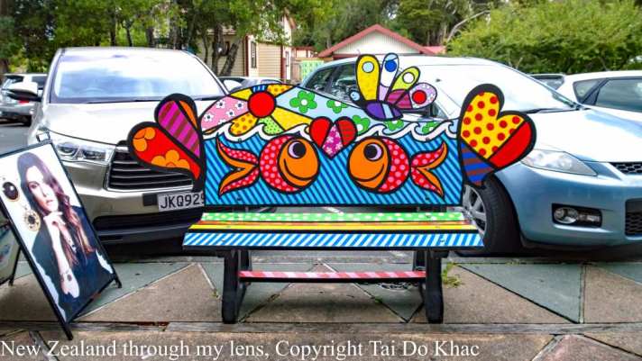
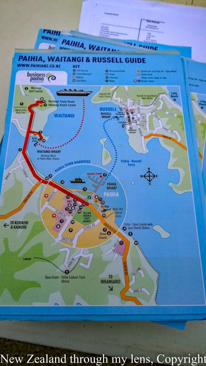
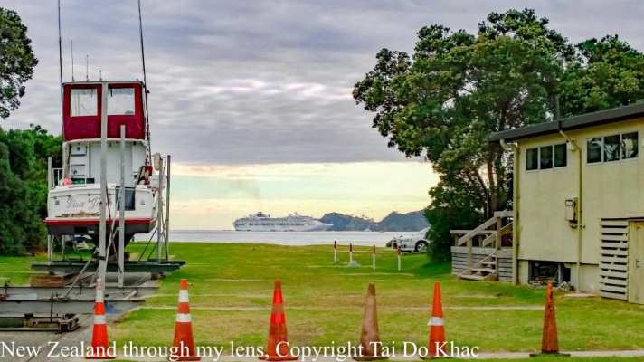
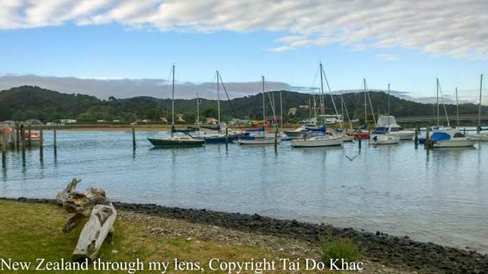
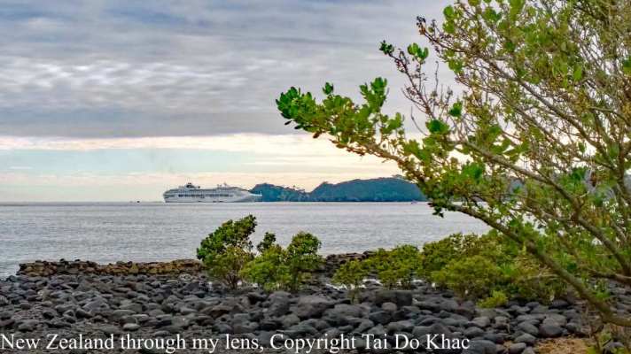
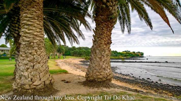
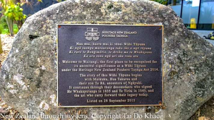
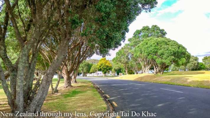
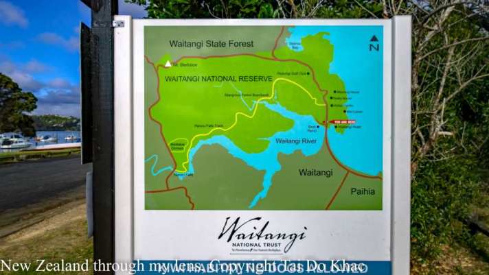
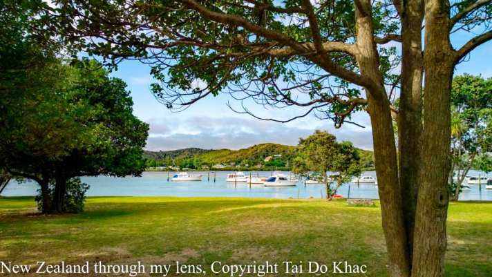
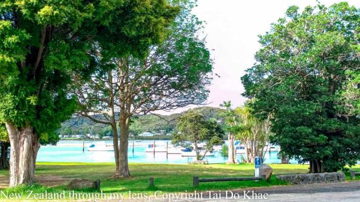
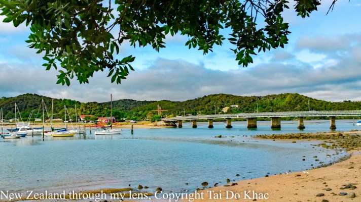
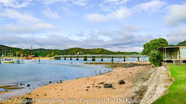
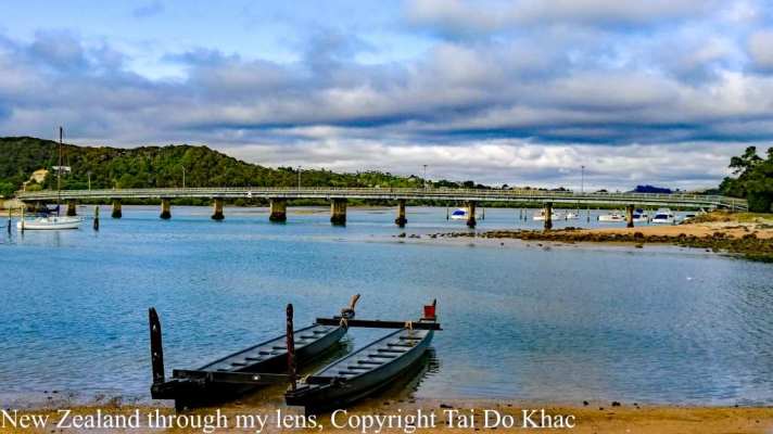
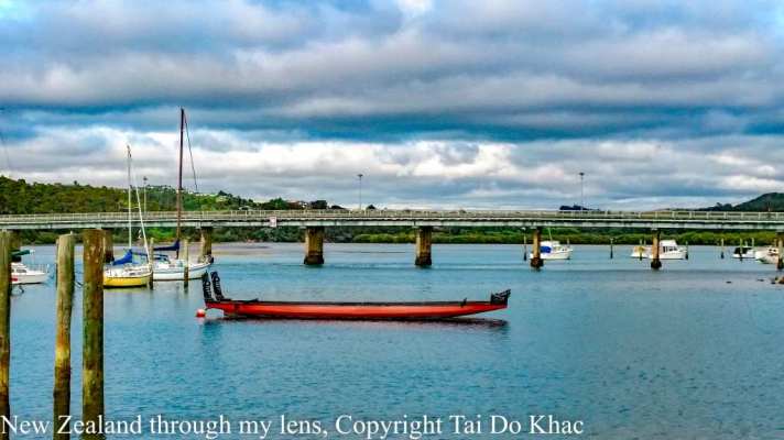
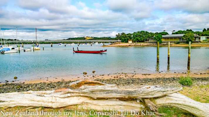
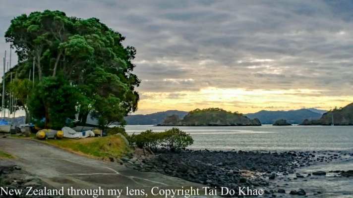
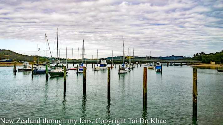
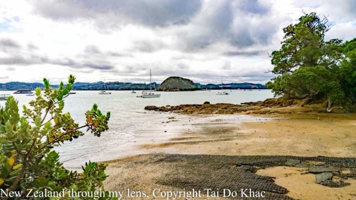
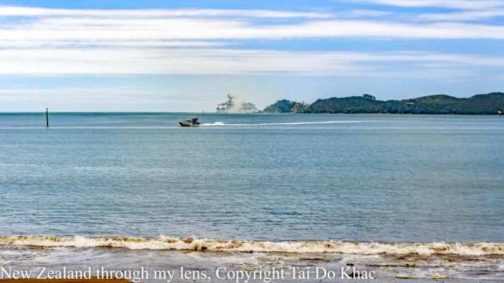
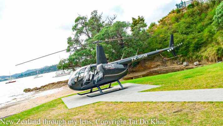
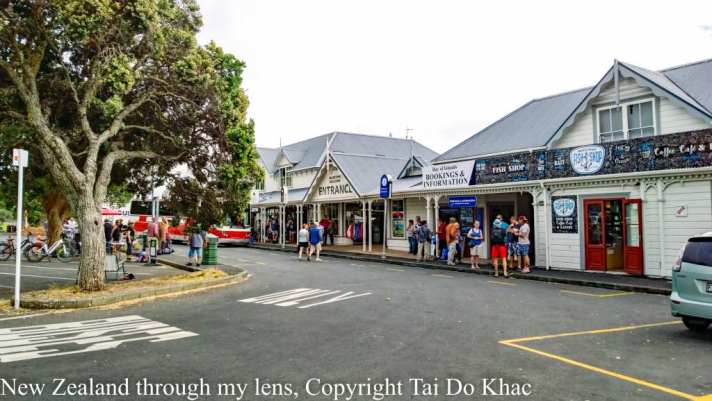
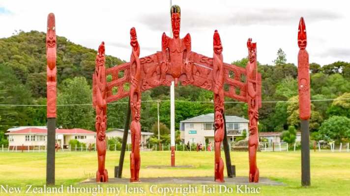
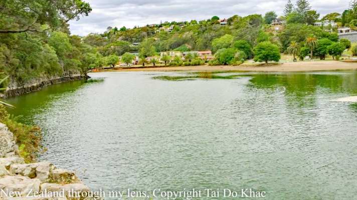
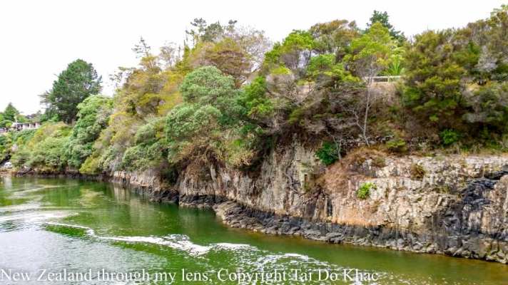
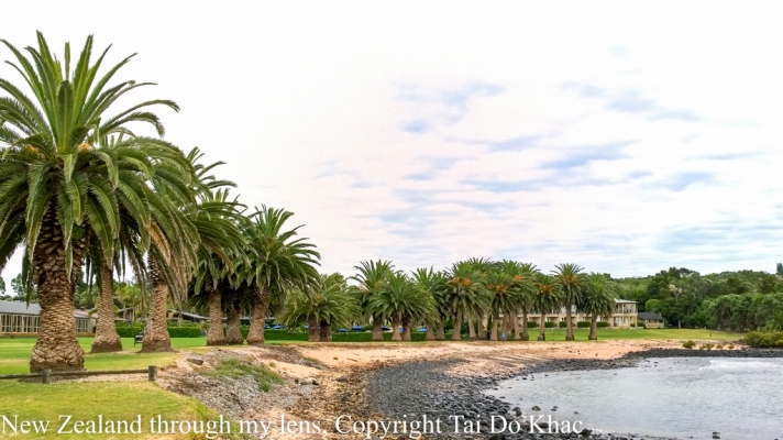
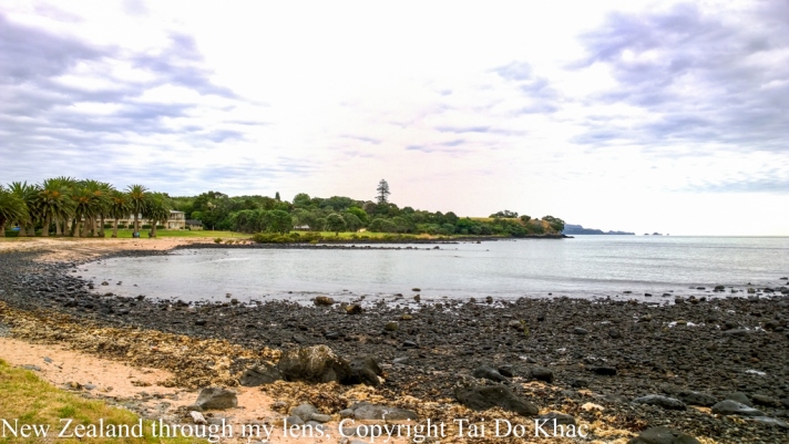
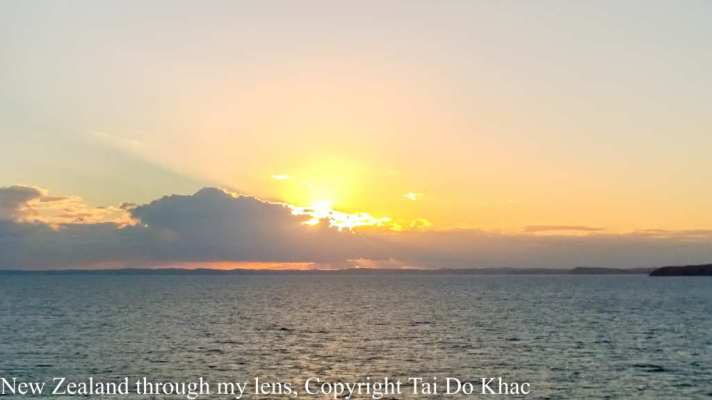
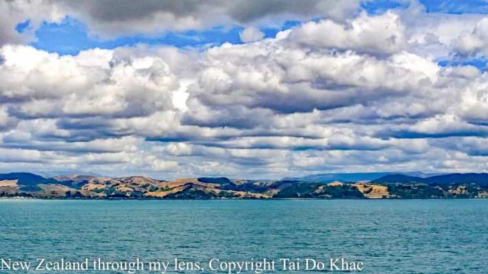
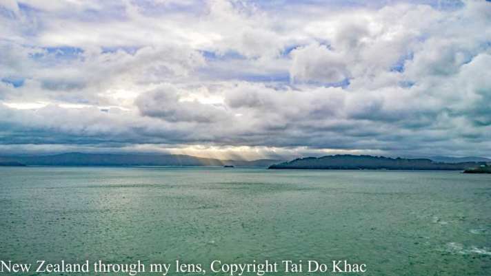
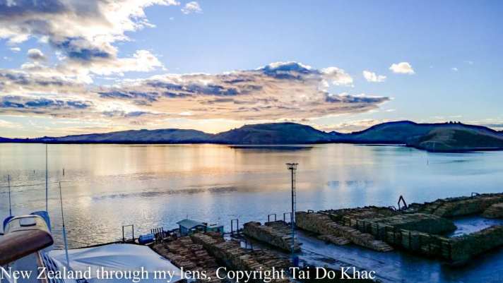
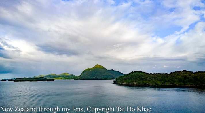
08 February 2017 08:00 Bay of Islands, New Zealand 17:00
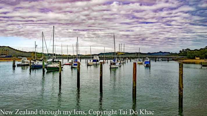
Die Bay of Islands ist eine kleine Region, die die Städte Opua, Paihia, Russell und Kerikeri, sowie einen großen Teil der Inseln zwischen Cape Brett und der Purerua Halbinsel umfasst.
The Bay of Islands is an area on the east coast of the Far North District of the North Island of New Zealand. It is one of the most popular fishing, sailing and tourist destinations in the country, and has been renowned internationally for its big-game fishing since American author Zane Grey publicised it in the 1930s. It is 60 km north-west of the city of Whangarei. Cape Reinga, at the northern tip of the country, is about 210 km by road further to the north-we
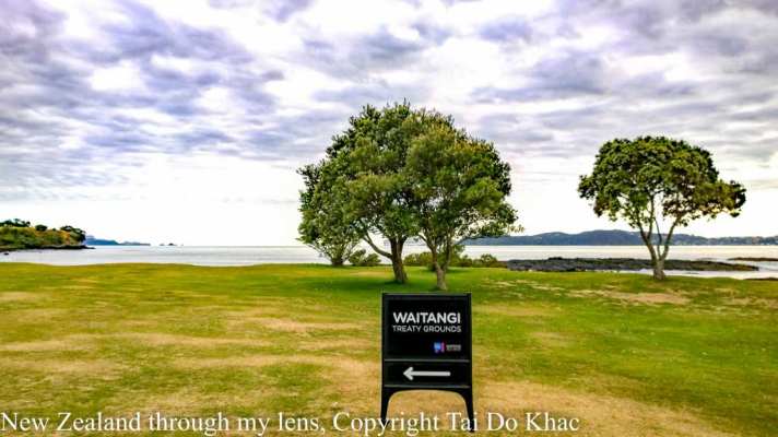

Haruru Falls just around the corner from Paihia showcases a breathtaking waterfall, Haruru meaning “big noise.” The water falls in a horseshoe shape – very rare and quite spectacular.
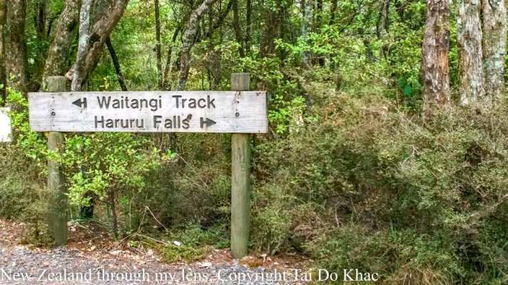
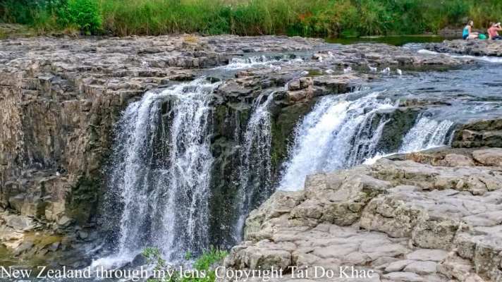
In the 1800s, more than 100 Maori villages lined the banks of the Haruru River which flows down to the sea at Waitangi. Maori legend says that a taniwha (water monster) lives in the lagoon below Haruru Falls.
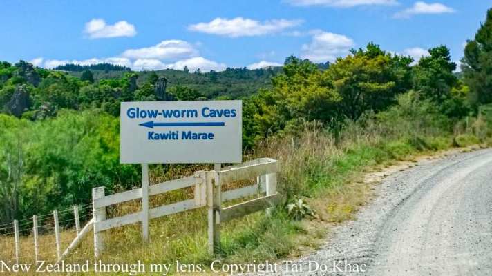
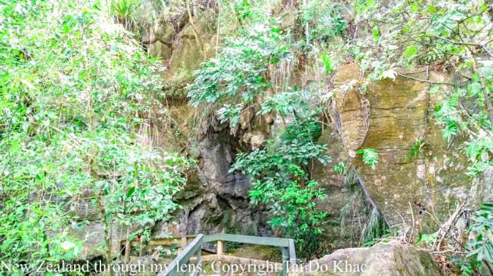
The glowworm, Arachnocampa luminosa, is unique to New Zealand. Thousands of these tiny creatures radiate their unmistakable luminescent light as our expert guides provide informative commentary on the Caves’ historical and geological significance.
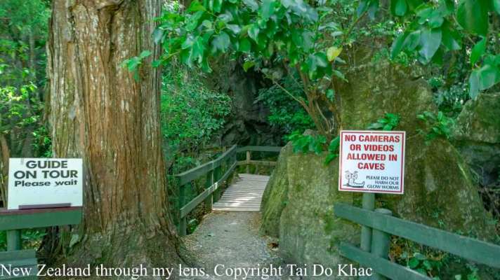
Waitomo Glowworm Caves are a must see for any traveller. Enjoy the world famous boat ride under thousands of magical glowworms and become a part of over 120 years of cultural and natural history.
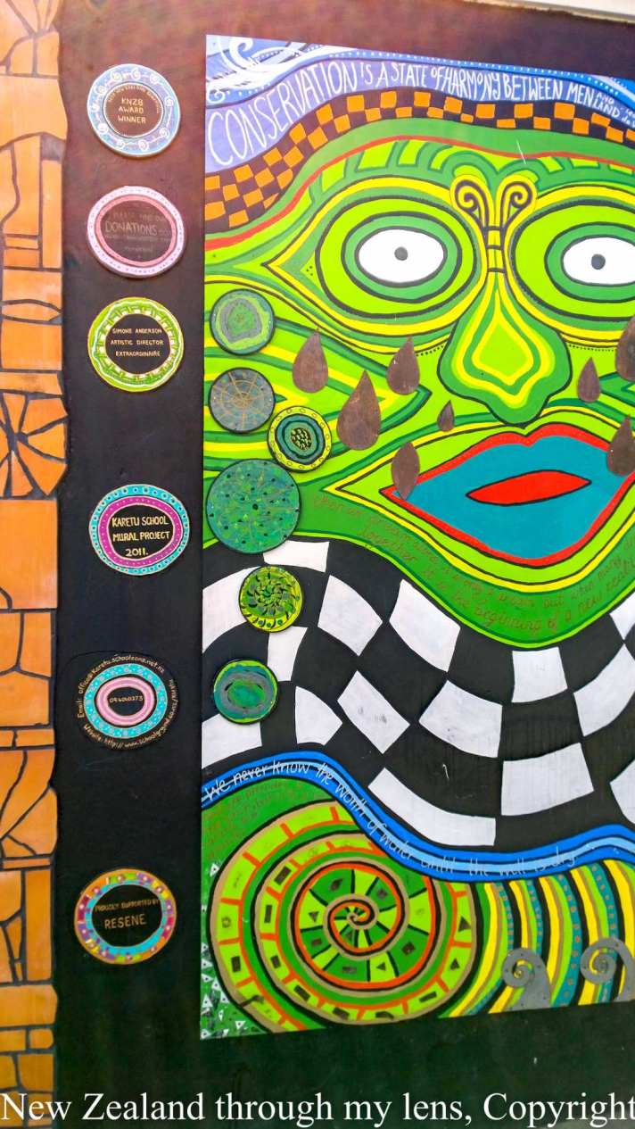
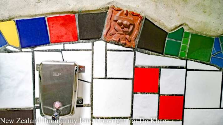
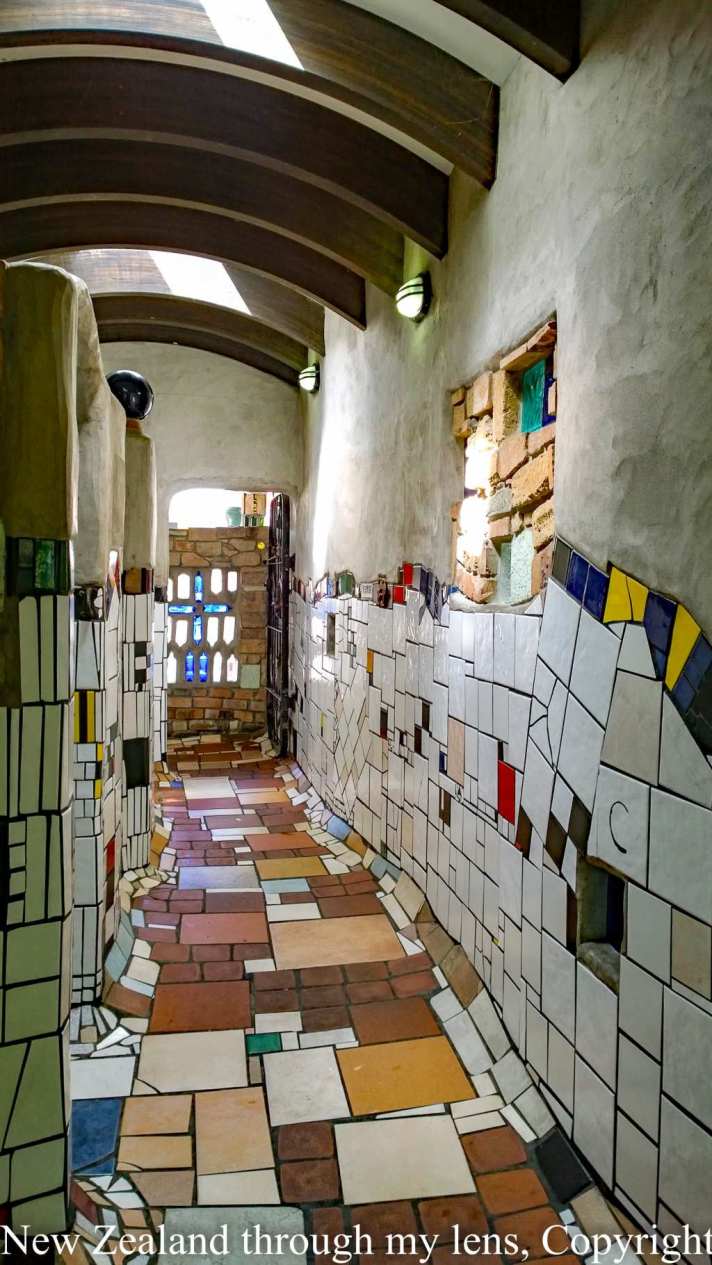
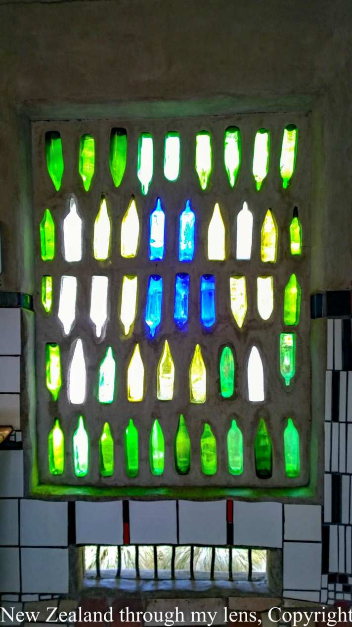
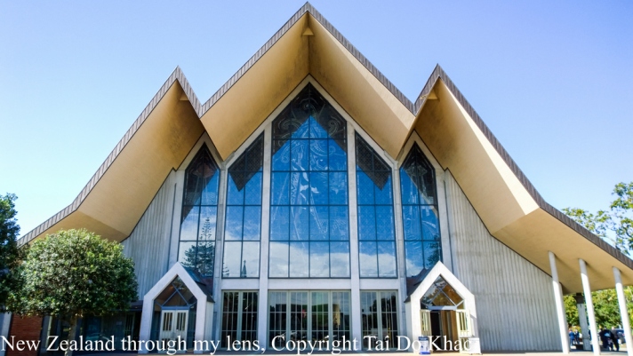
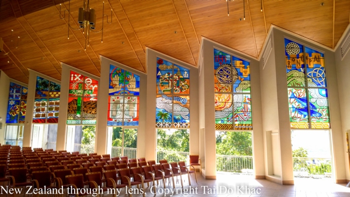
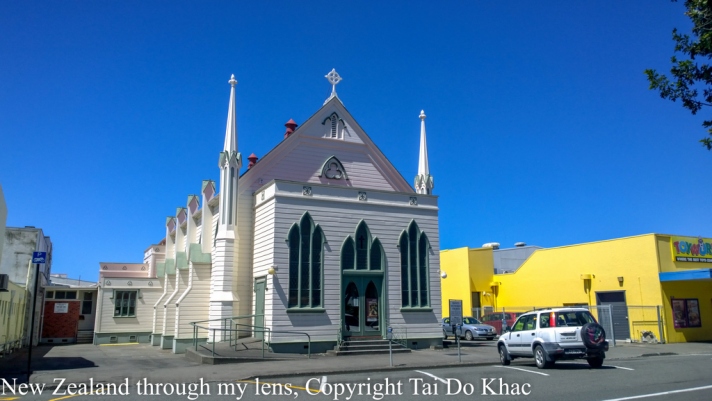
Friedrich Stowasser alias Friedensreich Hundertwasser hat in Kawakawa, 200 Ki-lometer nördlich von Auckland, einen Ort des Rückzugs für sein Schaffen gefunden. 1974 erwarb der Architekt und Künstler eine Farm in Kaurinui ganz in der Nähe von Kawakawa und wurde neuseeländischer Staatsbürger. Hier fühlte er sich zu Hause, weit weg vom Wiener Kunstbetrieb mit seinen Vernissagen und Retrospektiven. Aus Dankbarkeit für die Ruhe habe er seiner Gemeinde eben einen stillen Ort gewidmet .
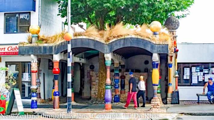
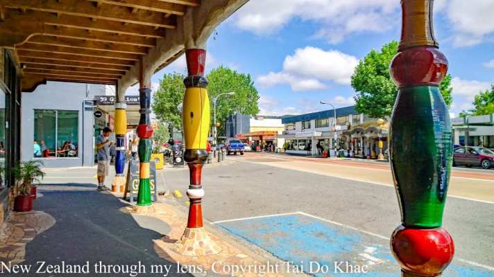
1999 wurde der öffentliche Hundertwasser-Abort eröffnet. “Durch dieses Gebäude hat sich für Kawakawa viel verändert”, sagt Johnston Davis. Der Pensionist ist Vorsitzender des Hundertwasser-Trusts in Kawakawa. Er kümmert sich um das regionale Erbe des Künstlers: “Jetzt sind wir auch außerhalb Neuseelands bekannt. Die Leute kommen aus der ganzen Welt, aus Europa, den USA und Asien.
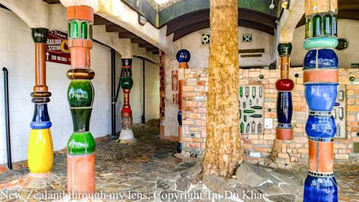
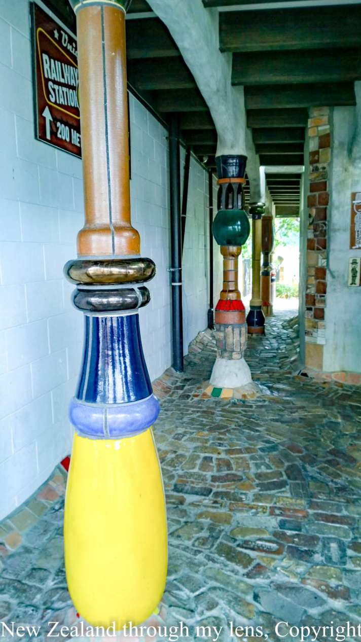
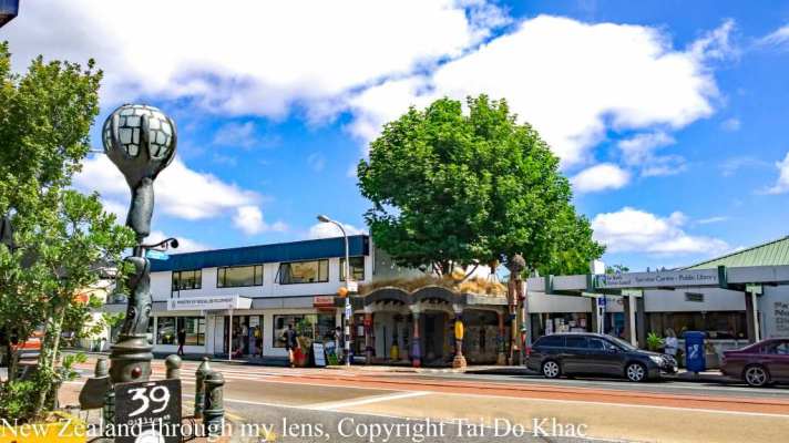
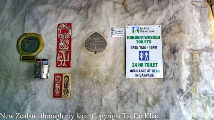
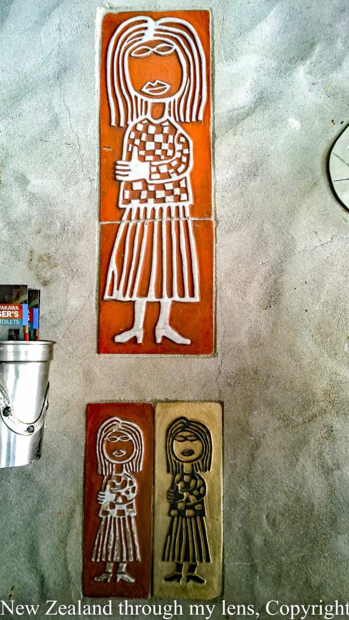
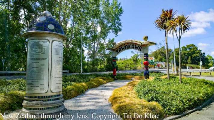
The World Famous Hundertwasser Toilets are located in Kawakawa. Kawakawa is 1 hour north of Whangarei, or 10 minutes south of Paihia.
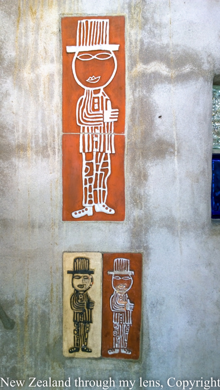
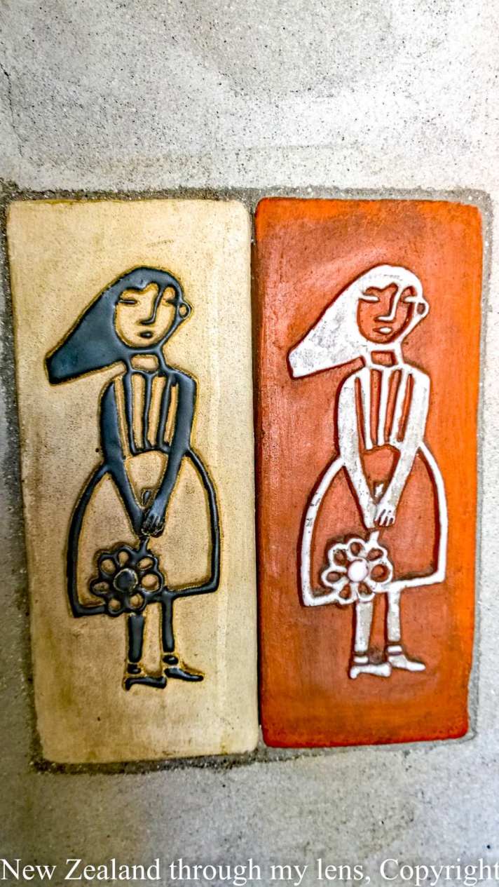
Renowned Architect Freidensreich Hundertwasser was a permanent Kawakawa resident. Moving there in the 1970s till his death in 2000. He created many comtemporary building desings around the world which are mostly in Europe but as far spead as the USA and Japan. He was commissioned to design some public toilets for Kawakawa in his unique style.
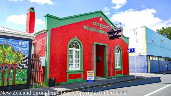
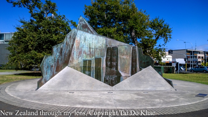
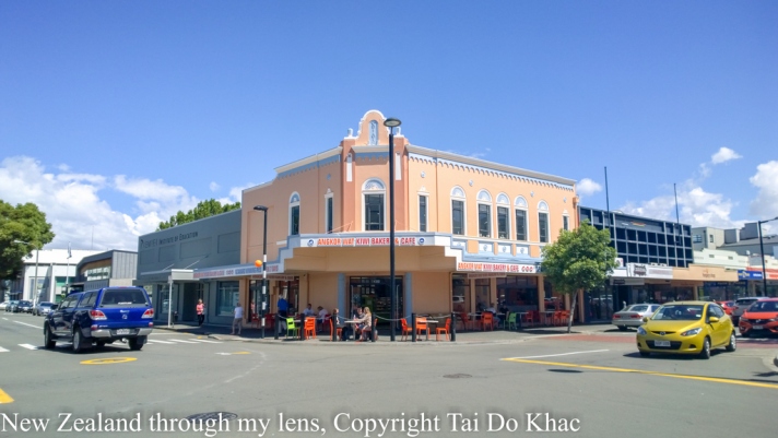
Kawakawa is a small town in the Northland Region of northern New Zealand. It had a population of 1347 at the 2006 census, down from 1401 in 2001.
Kawakawa developed as a service town when coal was found in the area in 1864, but there is no longer coal mining here. The economy is based on farming.
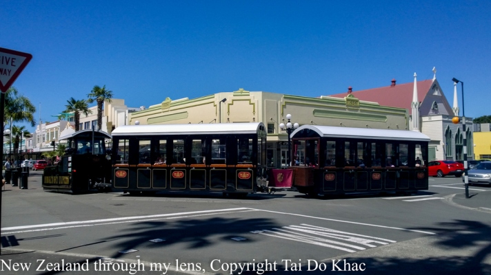
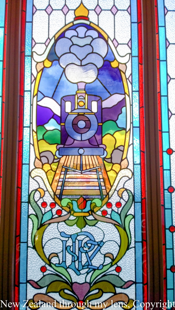
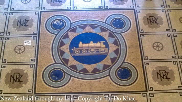
The town is known as “Train Town”, because the Bay of Islands Vintage Railway runs down the middle of its main street on the way to 8 km of the 17 km track reopened in 2008. At present trains are unable to go over “Long Bridge” because it is being re-piled, and the track between this bridge at Taumarere and Opua is being used as part of the Twin Coast Cyclepath. As soon as re-piling has been completed and the bridge certified for train use, this part of the track will be refurbished and the cyclepath moved next to the track.
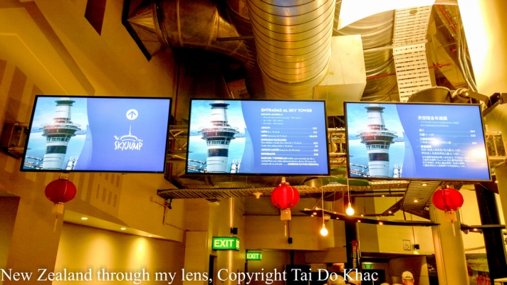
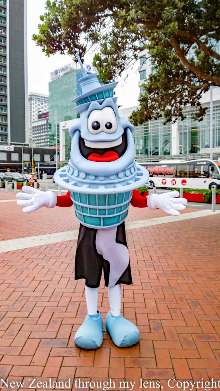
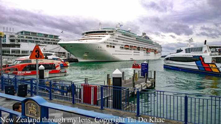
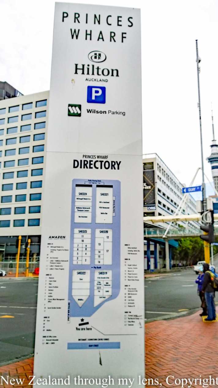
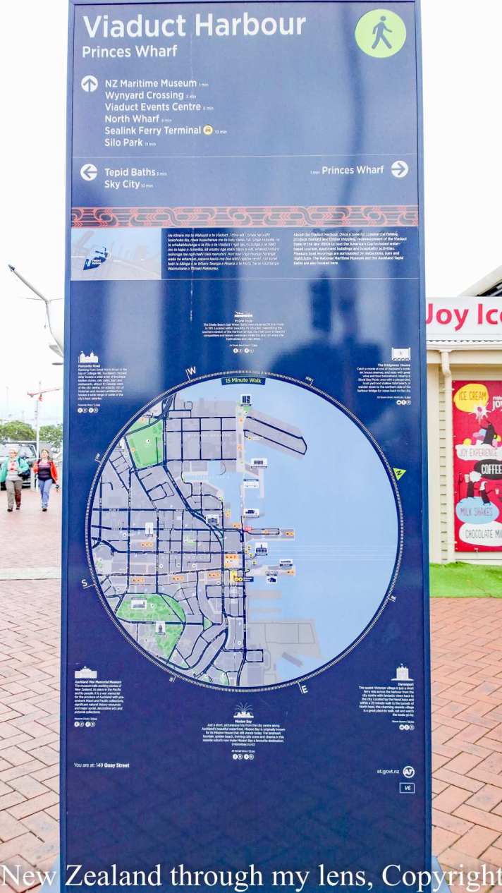
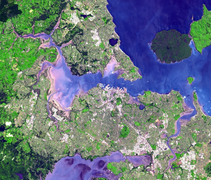
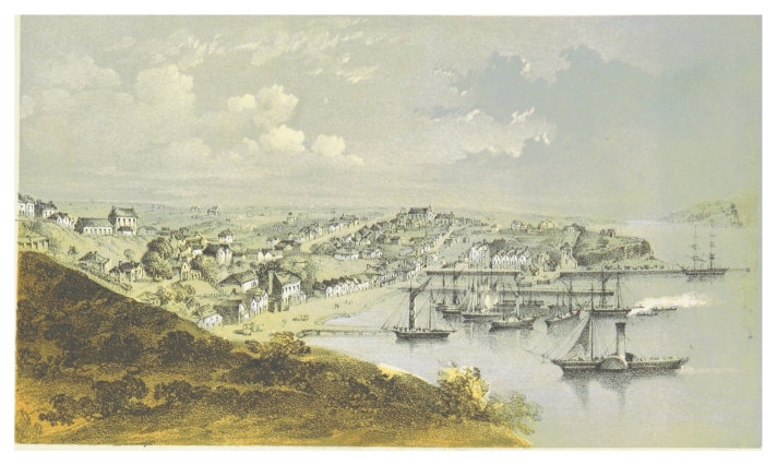
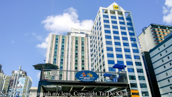
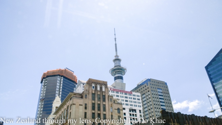
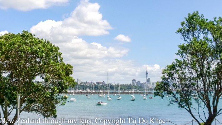
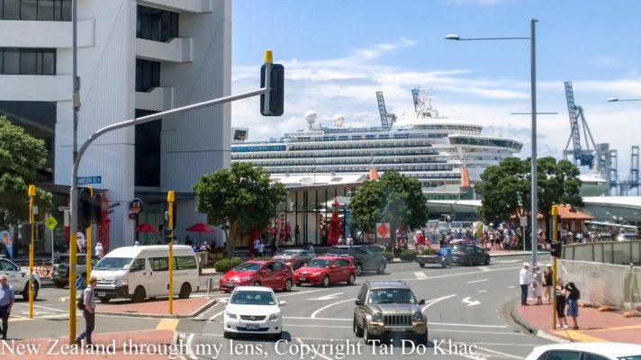
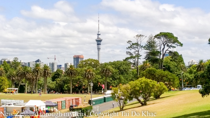
09 February 2017 06:30 Auckland, New Zealand 18:00
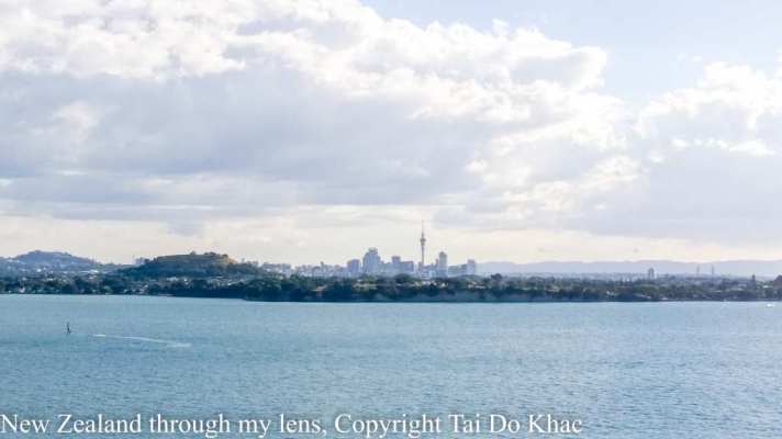
Auckland is a city in the North Island of New Zealand. It is the most populous urban area in the country.
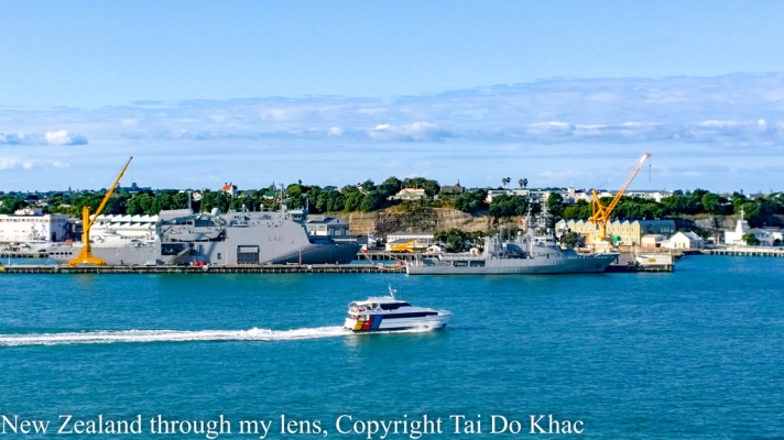
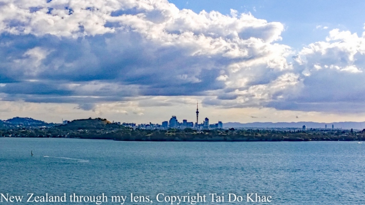
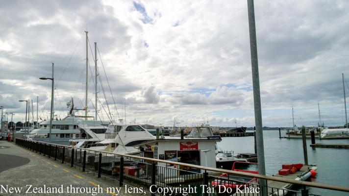
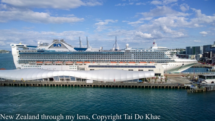
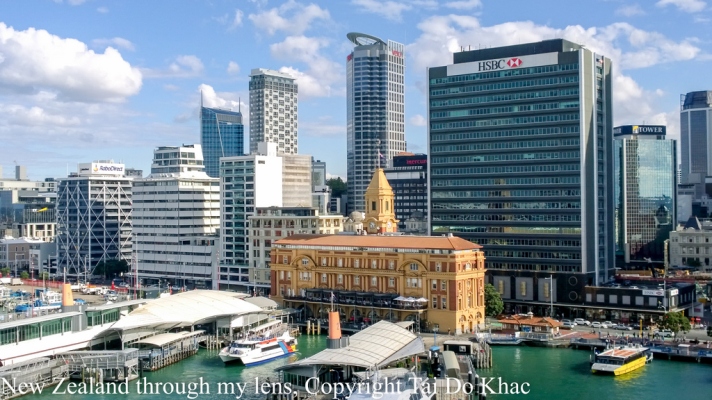
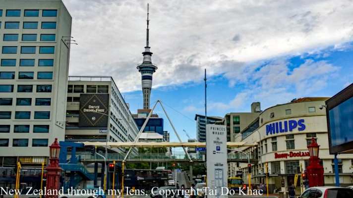
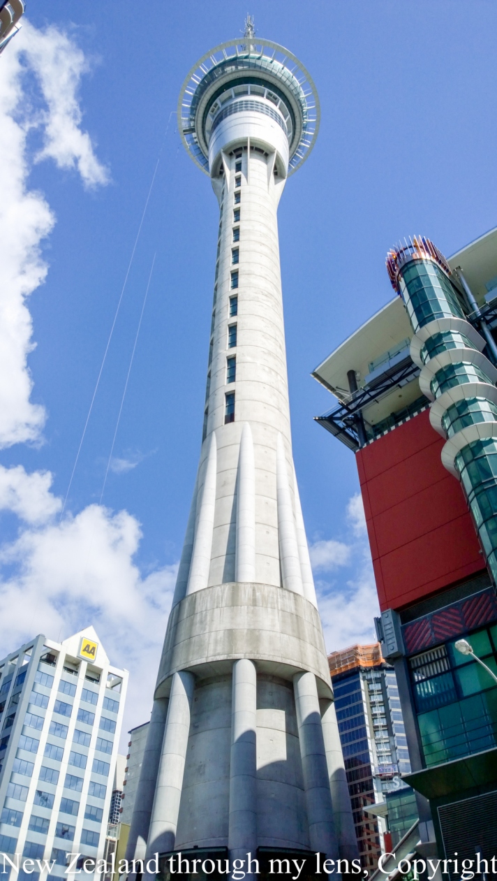
Auckland has a population of 1,495,000, which constitutes 32 percent of New Zealand’s population. It is part of the wider Auckland Region—the area governed by the Auckland Council—which also includes outlying rural areas and the islands of the Hauraki Gulf, resulting in a total population of 1,614,300.
A diverse and multicultural city, Auckland is home to the largest Polynesian population in the world.The Māori language name for Auckland is Tāmaki or Tāmaki-makau-rau, meaning “Tāmaki with a hundred lovers”, in reference to the desirability of its fertile land at the hub of waterways in all directions.[1] It has also been called Ākarana, the Māori enunciation of Auckland.
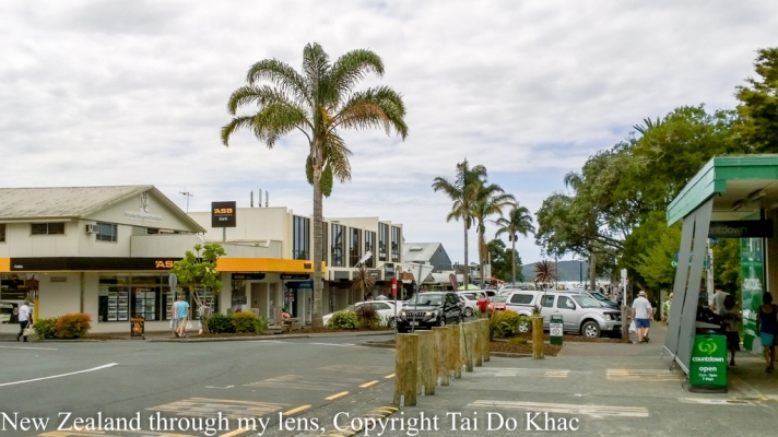
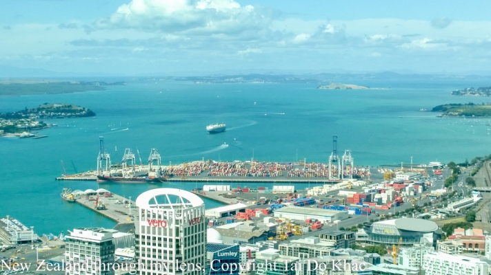
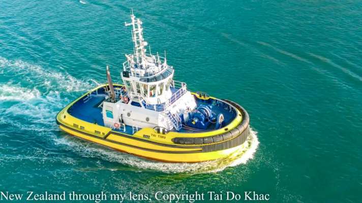
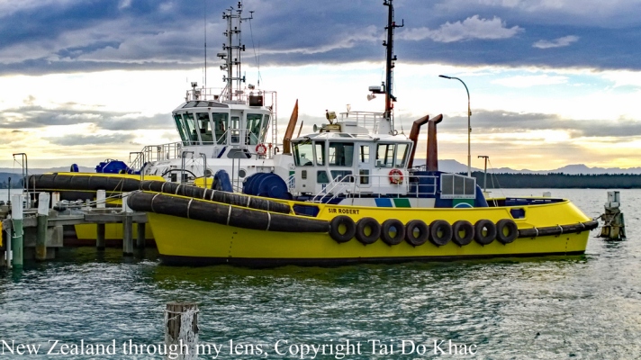
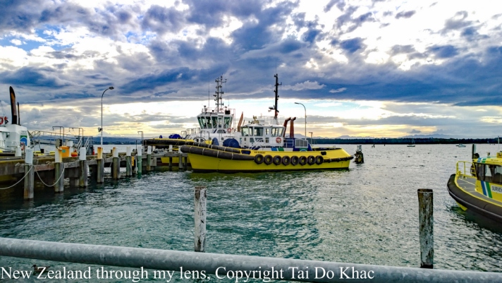
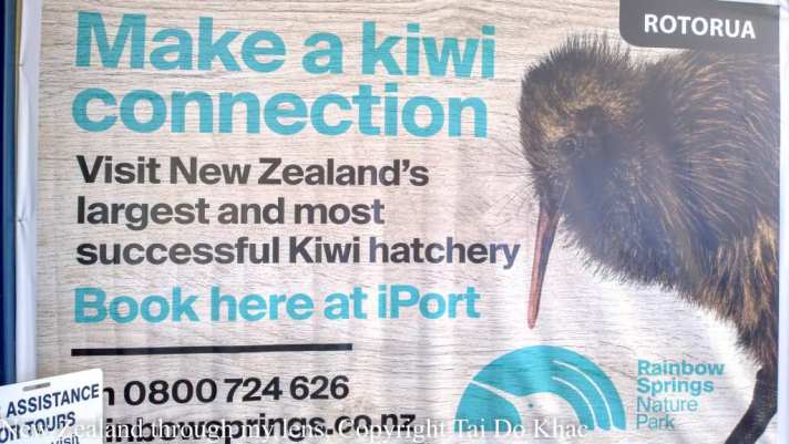
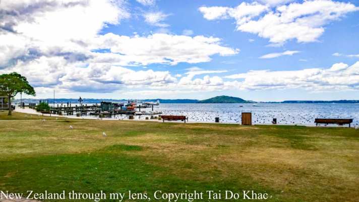
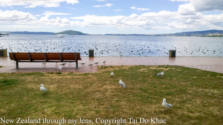
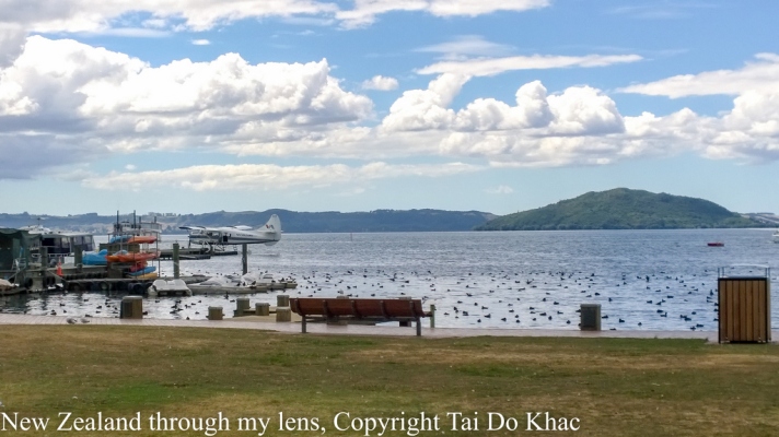
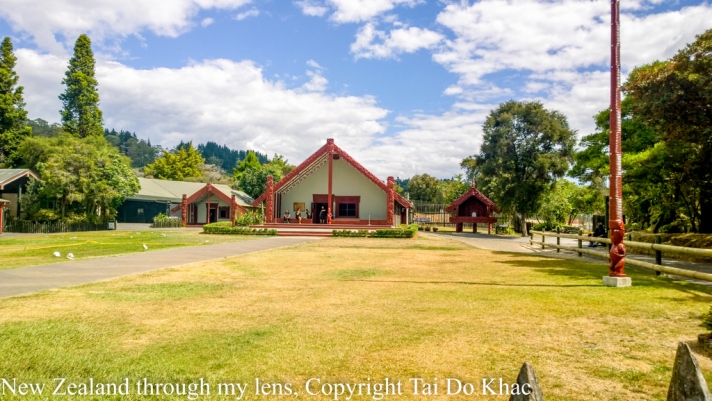
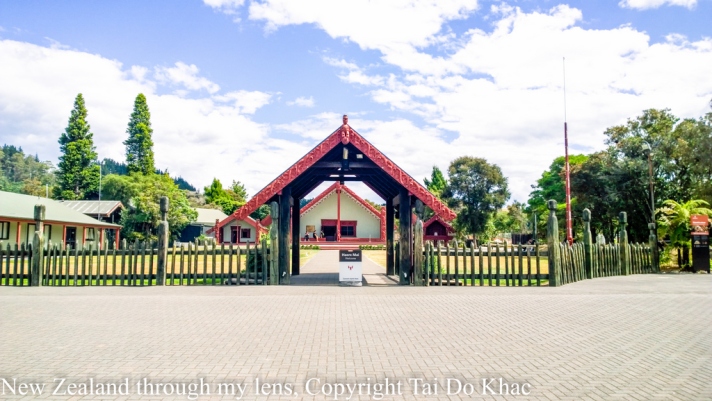
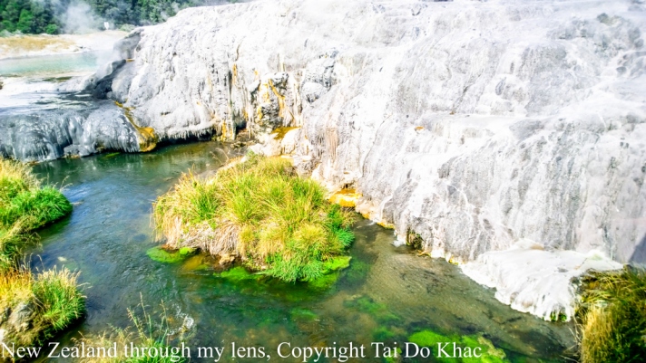
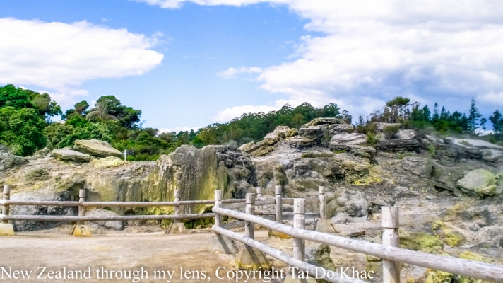
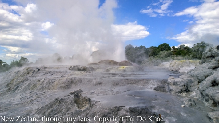
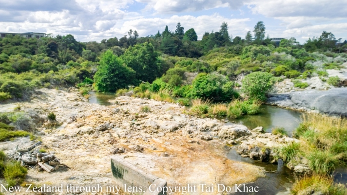
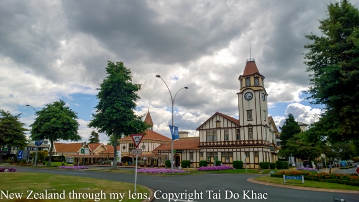
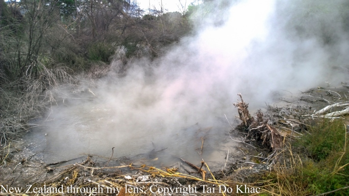
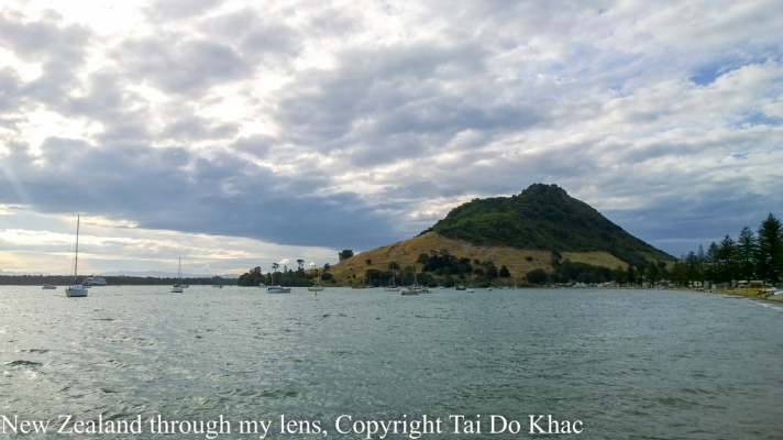
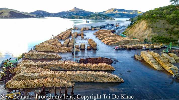
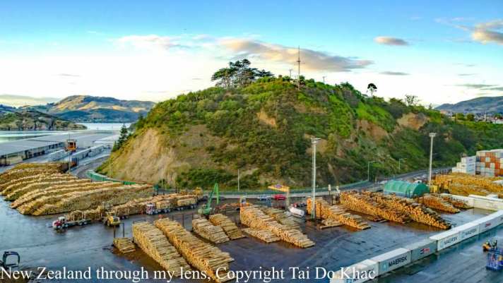
10 February 2017 08:30 Tauranga (for Rotorua), New Zealand 19:30
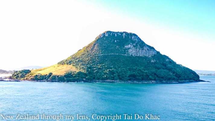
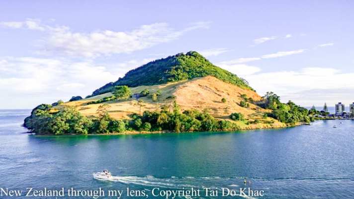
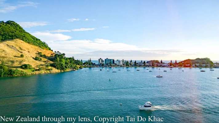
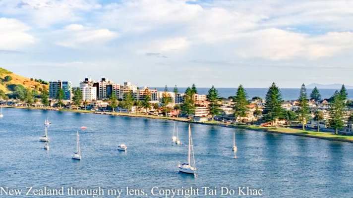
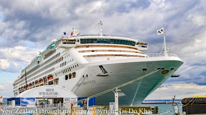
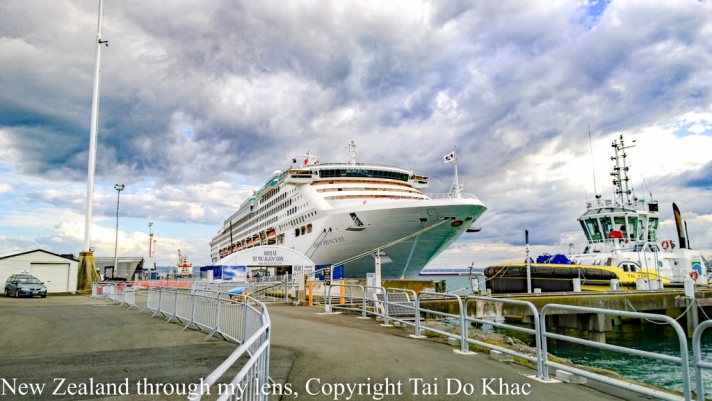
Tauranga (Māori pronunciation: [ˈtaʉɾaŋa])[2][3] is the most populous city in the Bay of Plenty Region of the North Island of New Zealand. It was settled by Māori late in the 13th century and by Europeans in the early 19th century and was constituted as a city in 1963.[4] Tauranga City is the centre of the fifth largest urban area in New Zealand, with an urban population of 134,400 (June 2016).
Dawn Princess in Port Of Tauranga

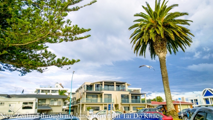

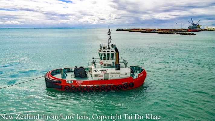
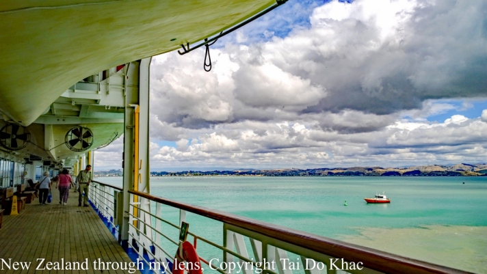
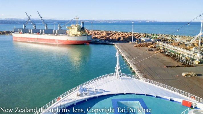
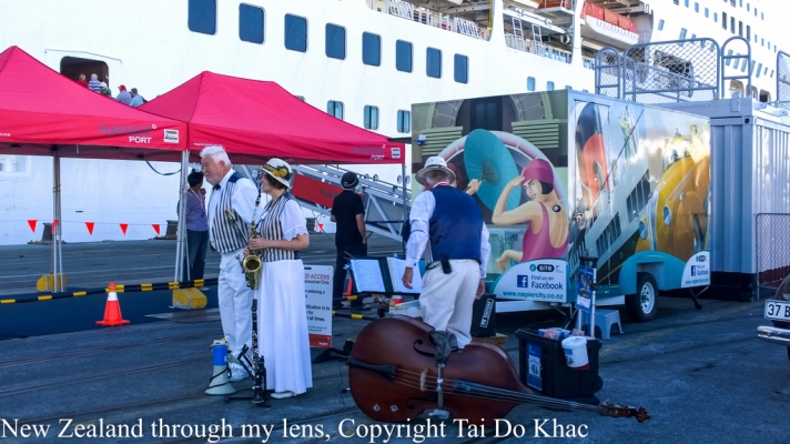
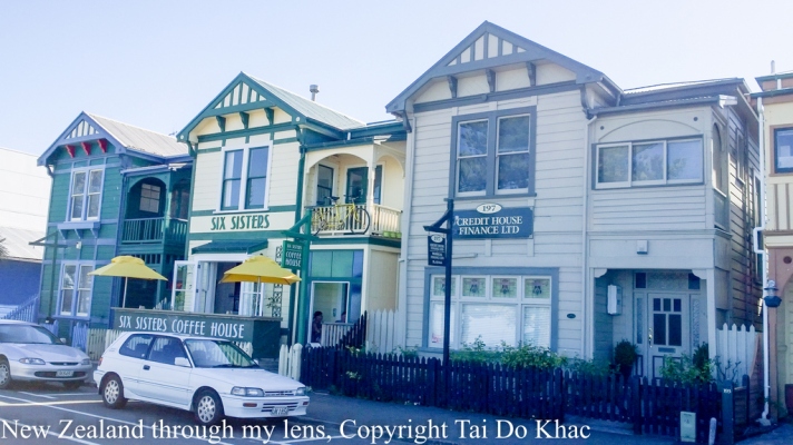
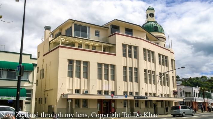
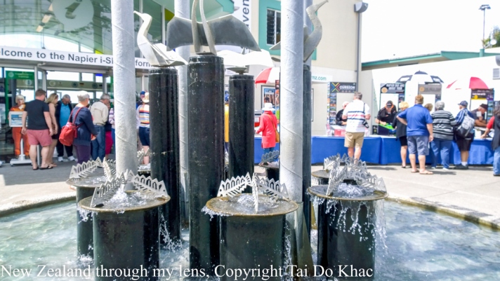
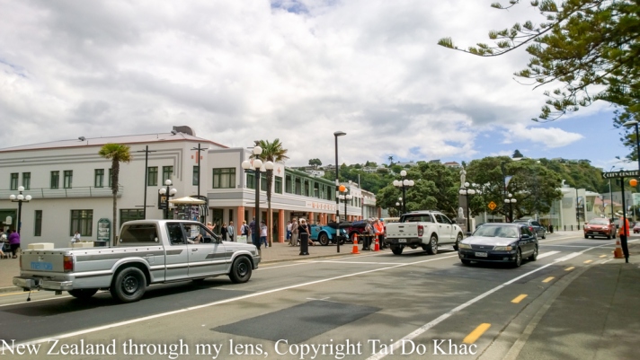
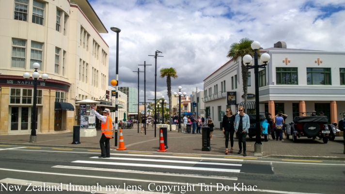
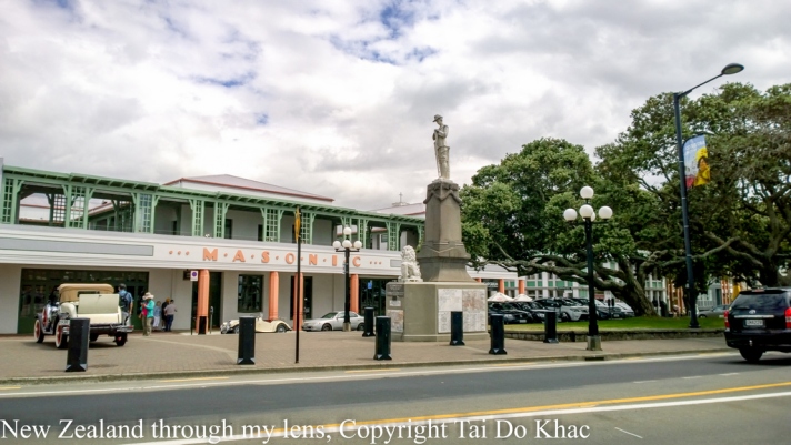
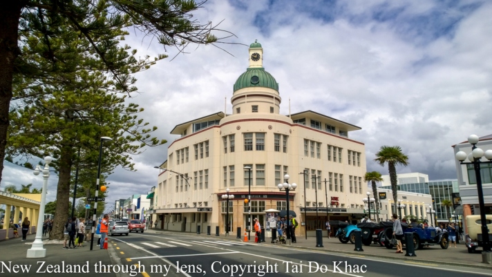
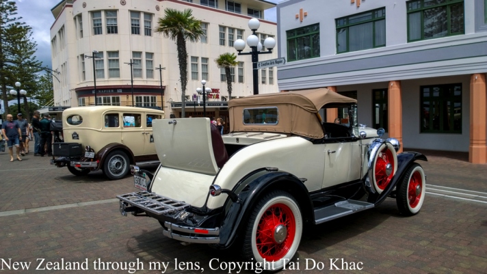
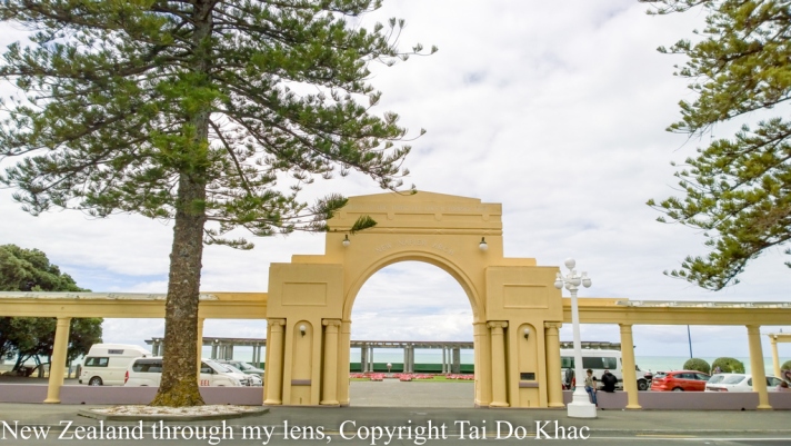
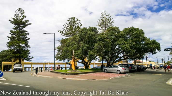
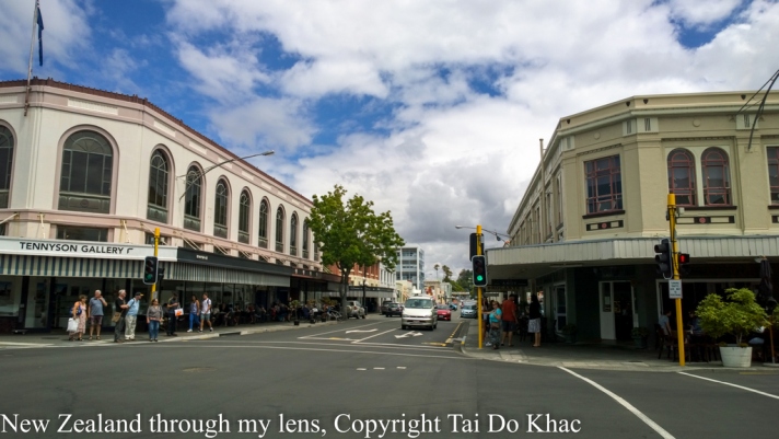
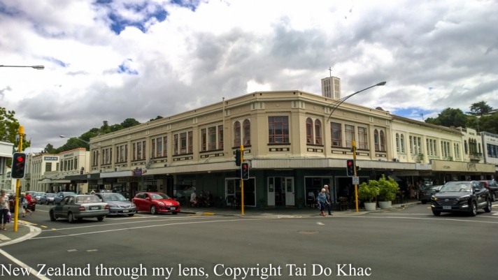
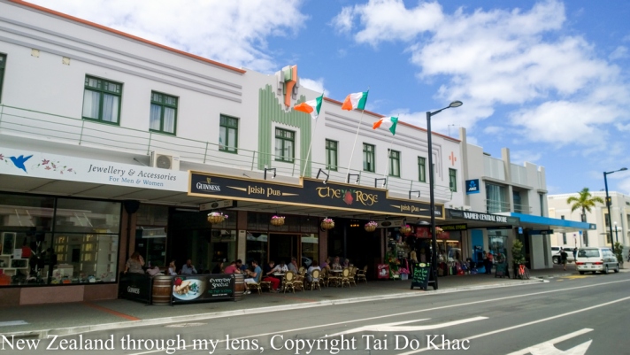
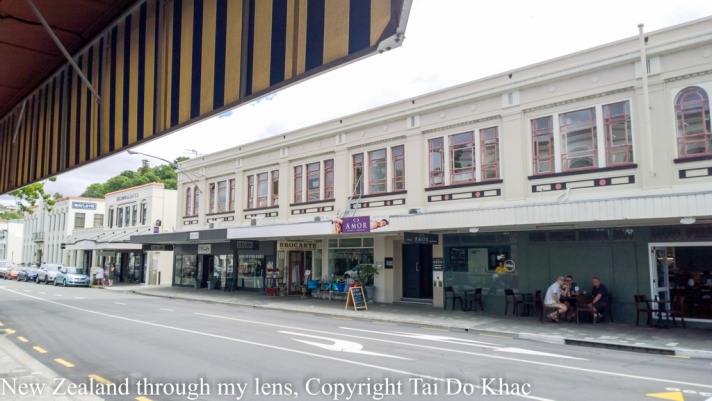
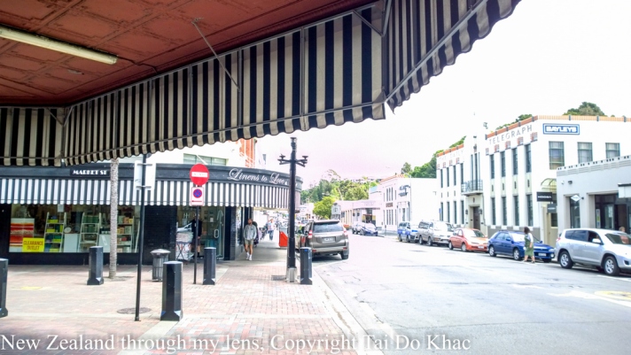
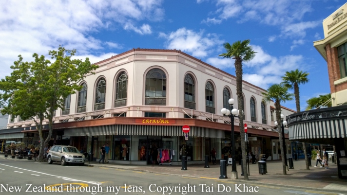
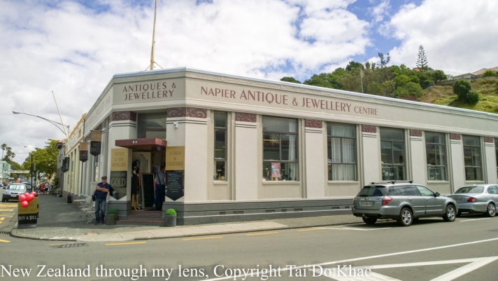
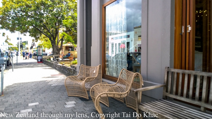
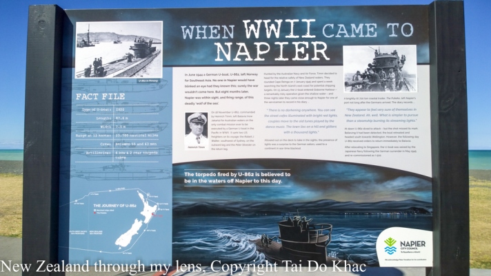
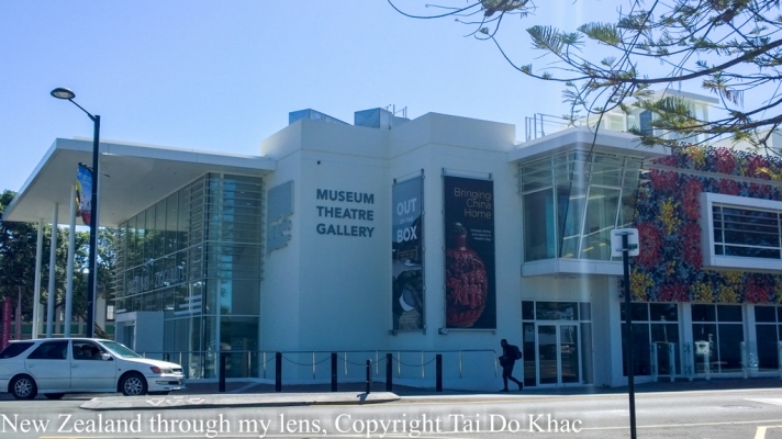
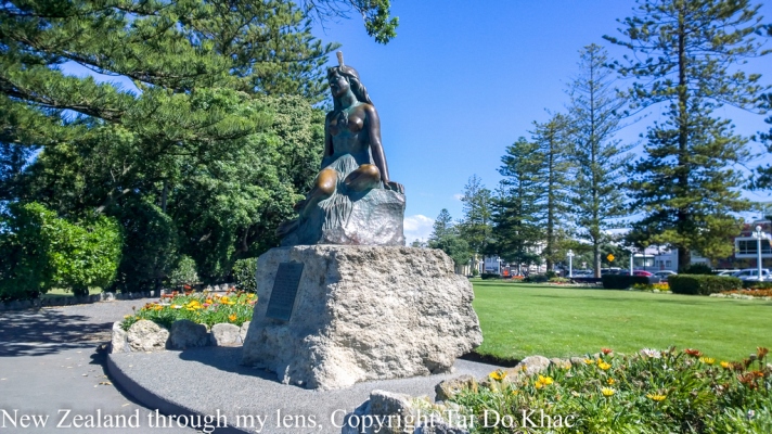
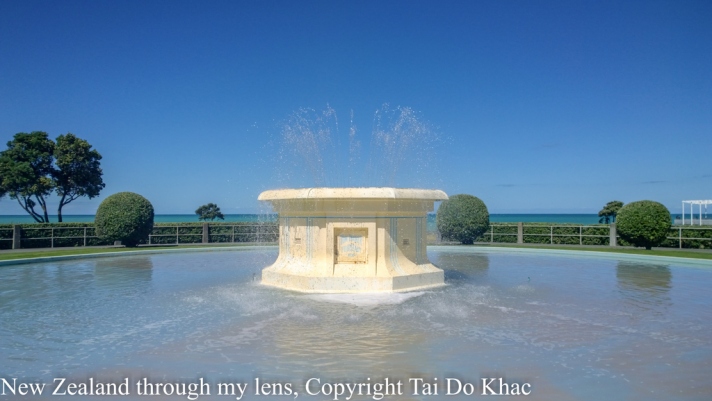
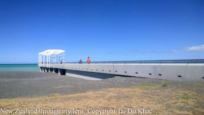
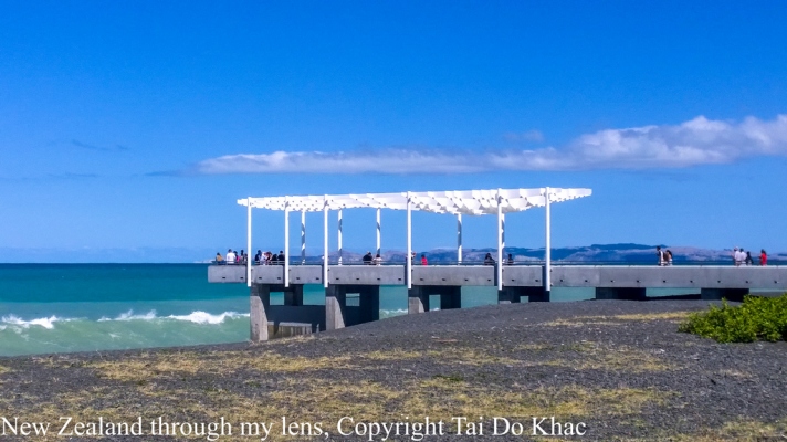
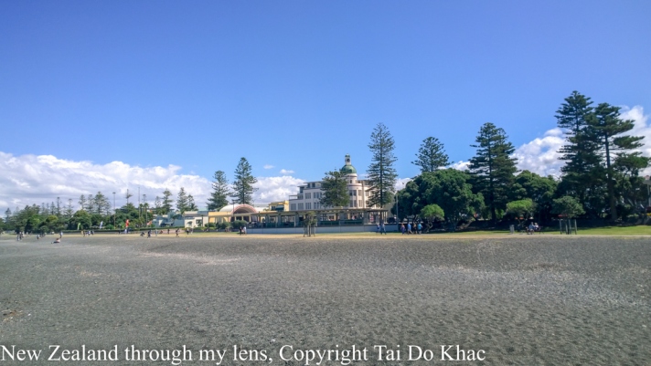
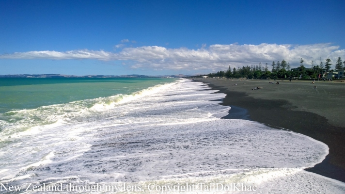
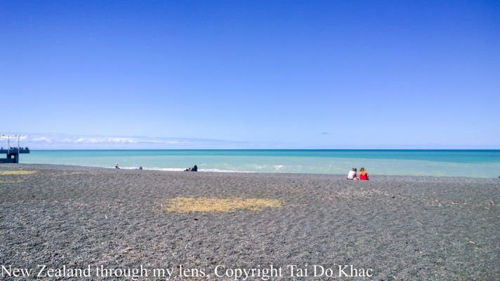
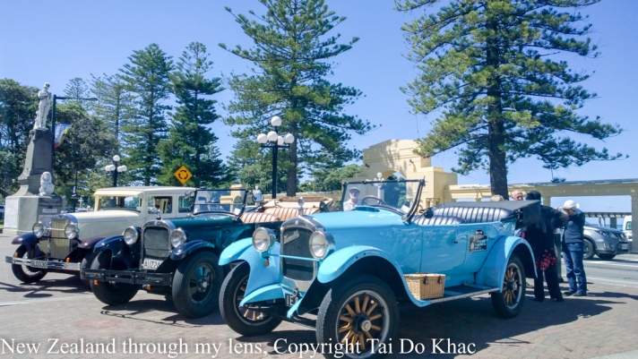
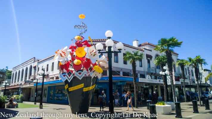
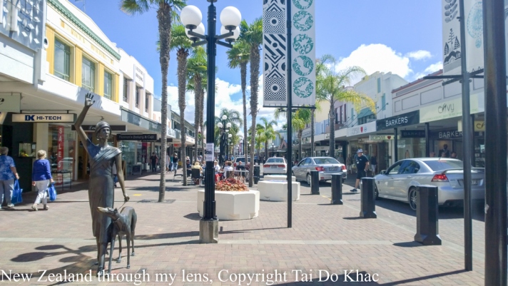
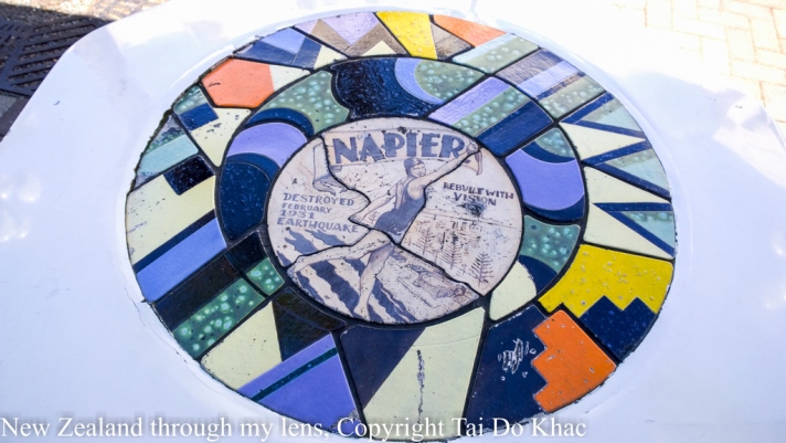
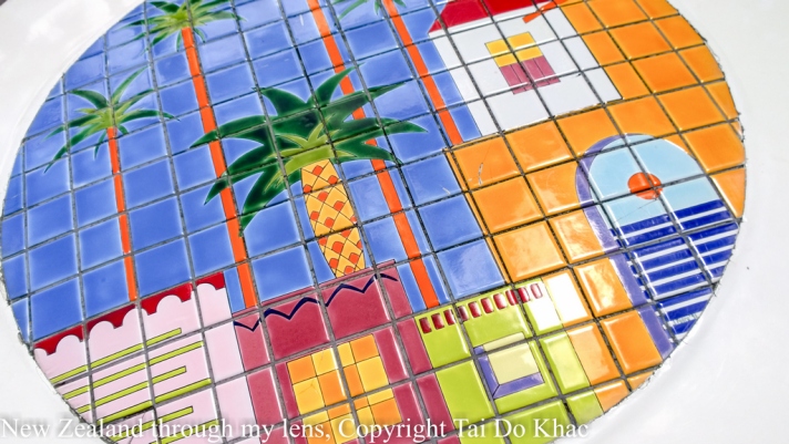
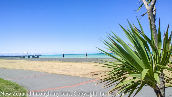
11 February 2017 12:00 Napier, New Zealand 19:00
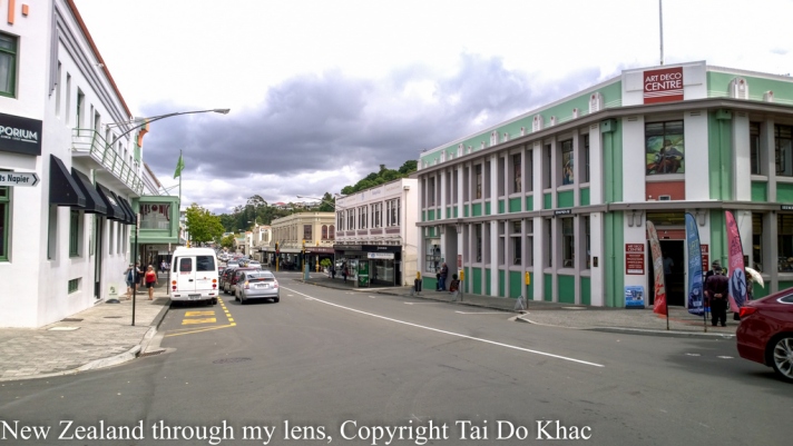
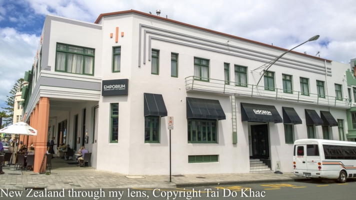
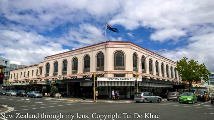
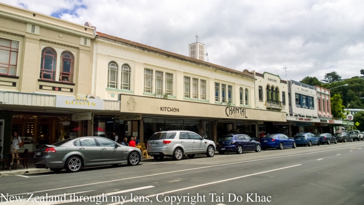
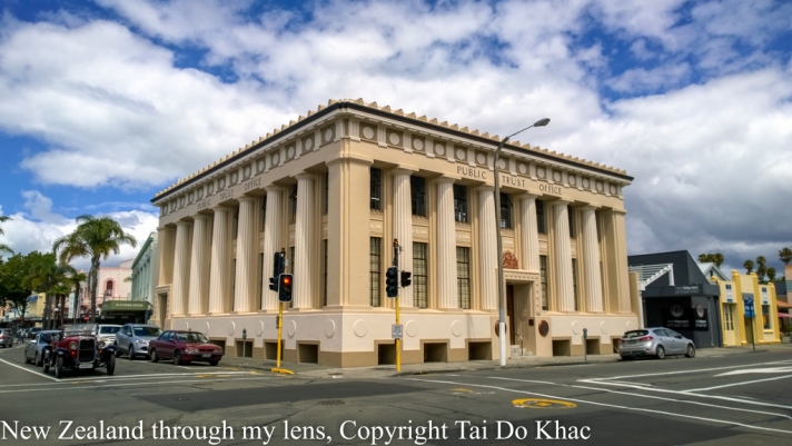
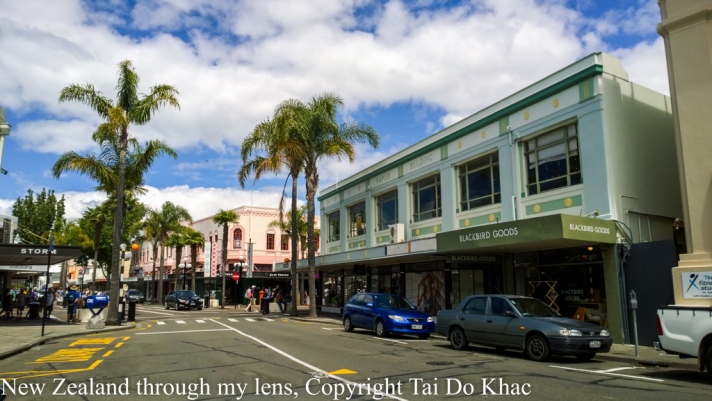
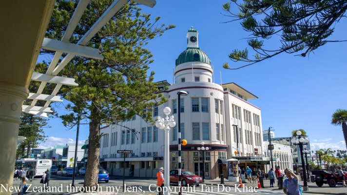
Napier [1] is a city (population 61,000) in Hawke’s Bay, on the east coast of the North Island of New Zealand.
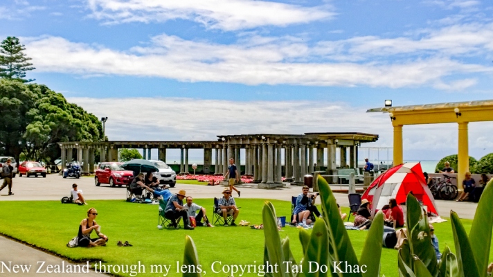
The city is famed for its Art Deco architecture, and contains the largest concentration of inner-city Art Deco buildings in the world.
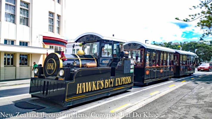
The other main attraction there is wine — specifically from the wineries in Hawke’s Bay, now New Zealand’s second-largest wine-producing region behind Marlborough.
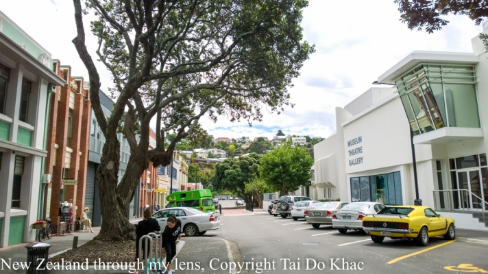
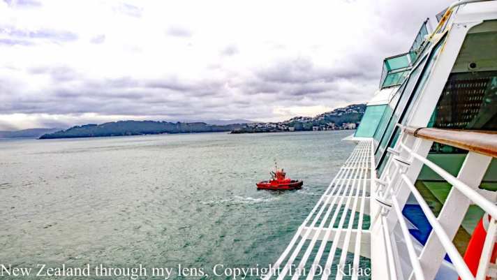
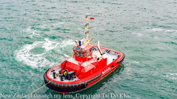
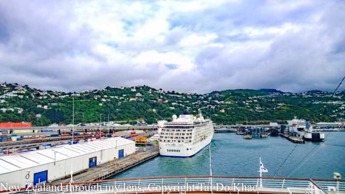
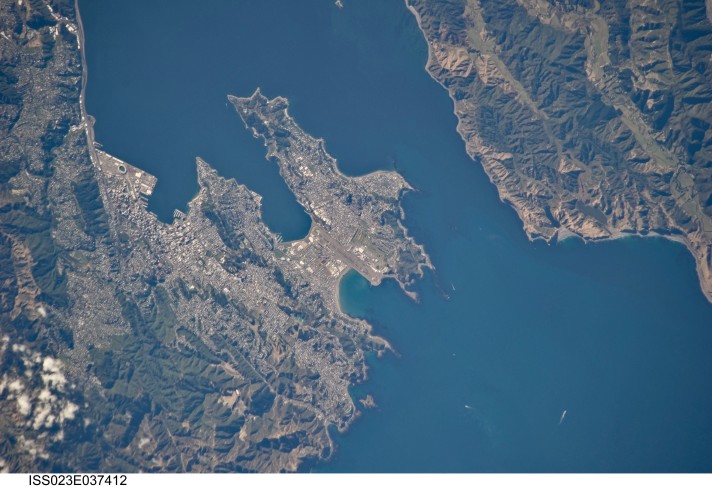
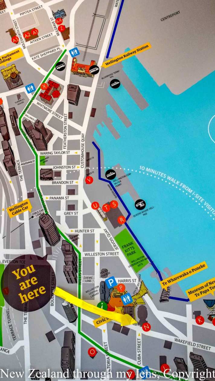
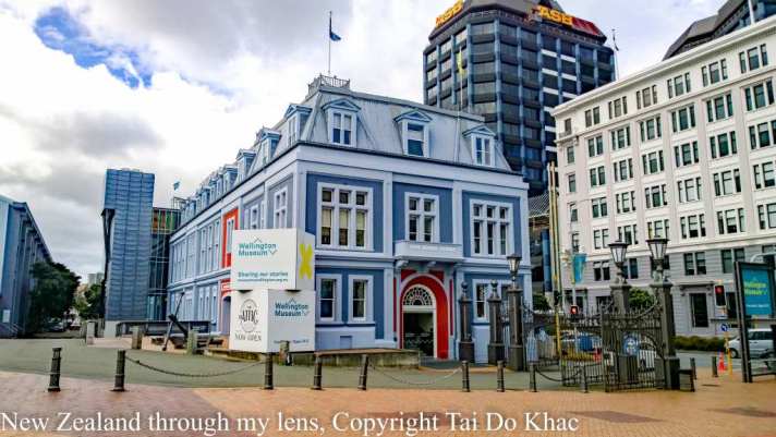
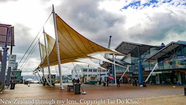
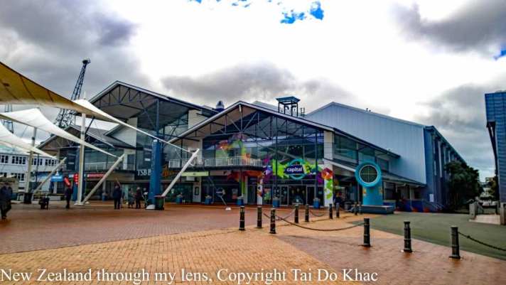
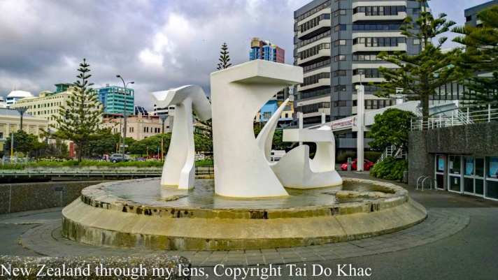
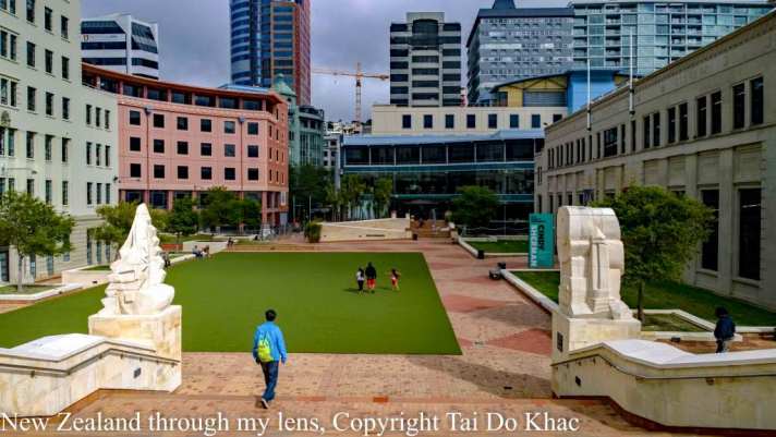
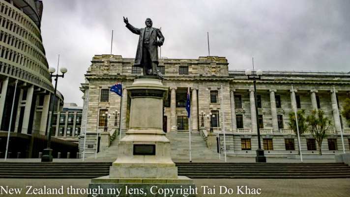
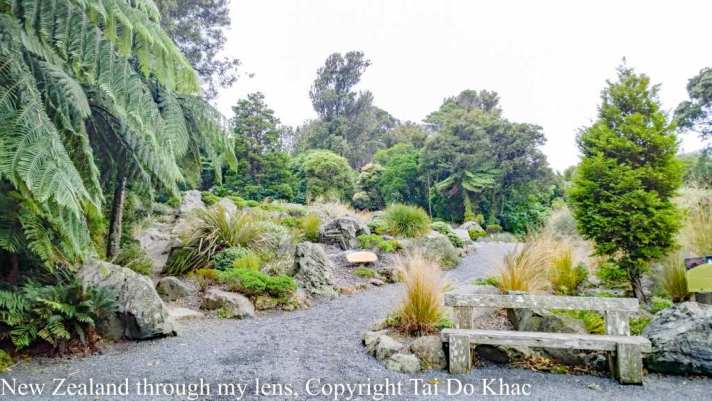
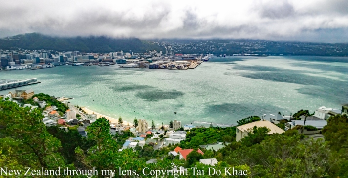
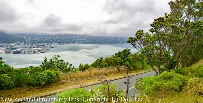
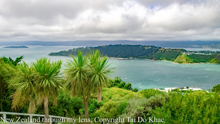
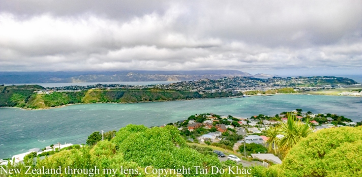
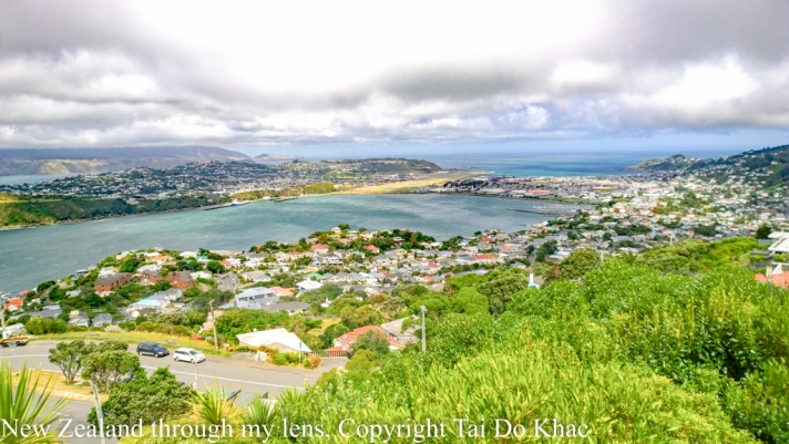
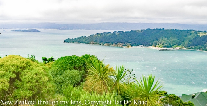
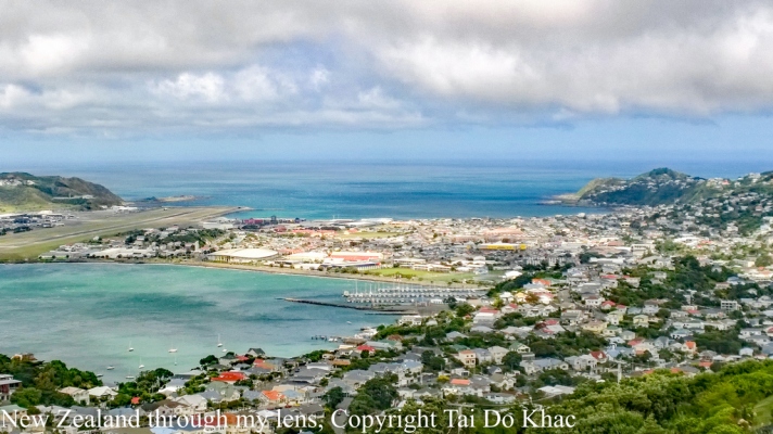
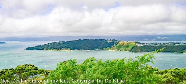
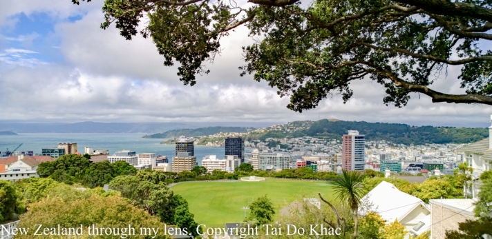
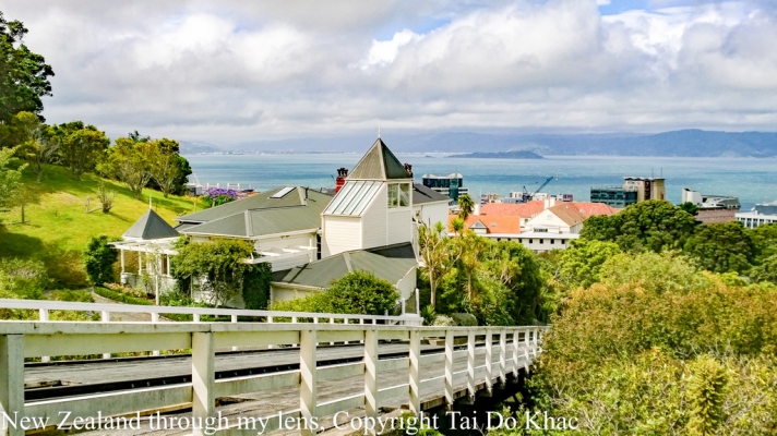
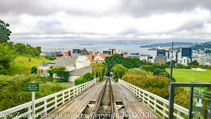
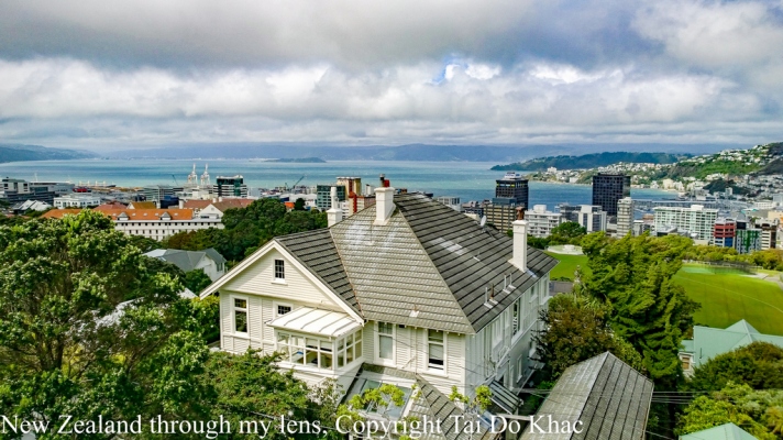
12 February 2017 08:00 Wellington, New Zealand 18:00
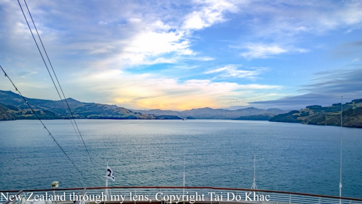


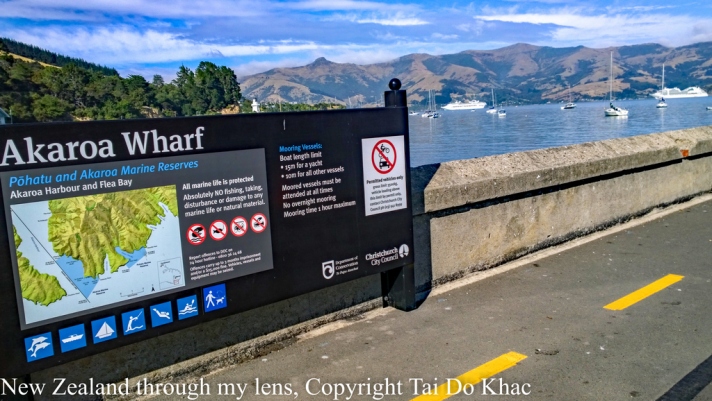
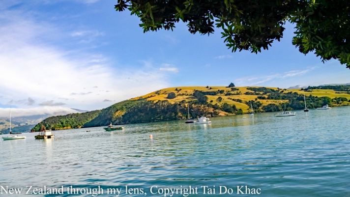
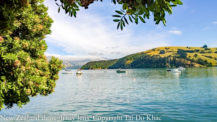
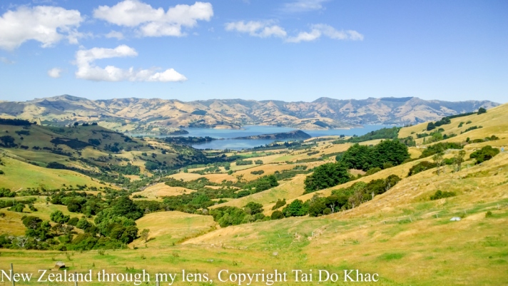
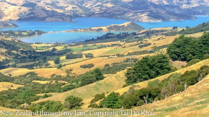
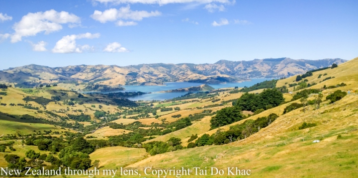
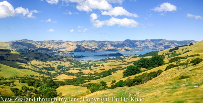
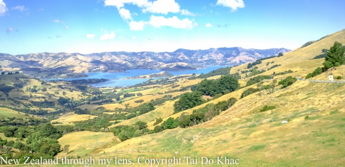
13 February 2017 08:00 Akaroa, New Zealand 18:00
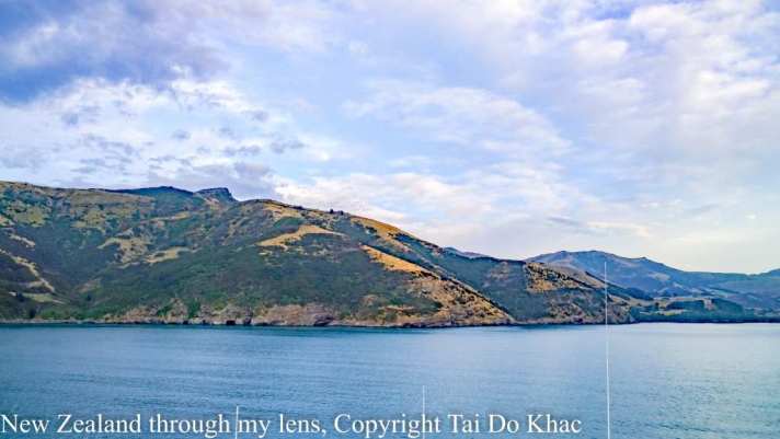
Just 75 kilometres from the city of Christchurch, New Zealand, Akaroa is a historic French and British settlement nestled in the heart of an ancient volcano. Explore the village with its colonial architecture, galleries, craft stores, and cafés. Relax or take part in the many activities that are on offer. Explore the dramatic outer bays and take your time to soak in the magic of this area. A wide range of accommodation is available and you will need more than a day to explore this little piece of paradise.
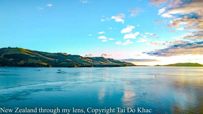
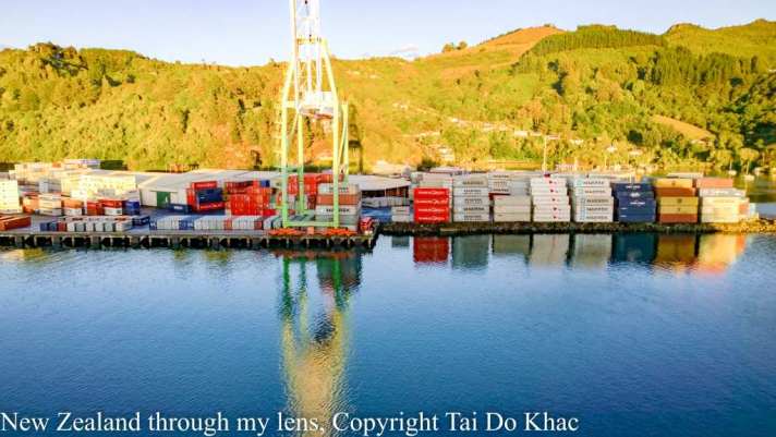
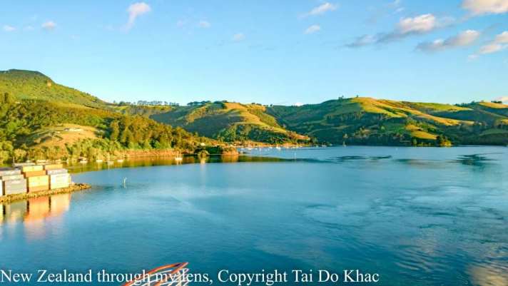
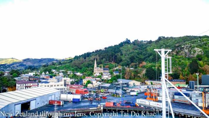
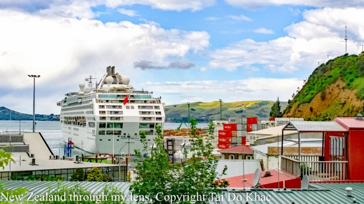
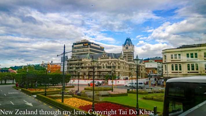
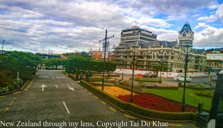
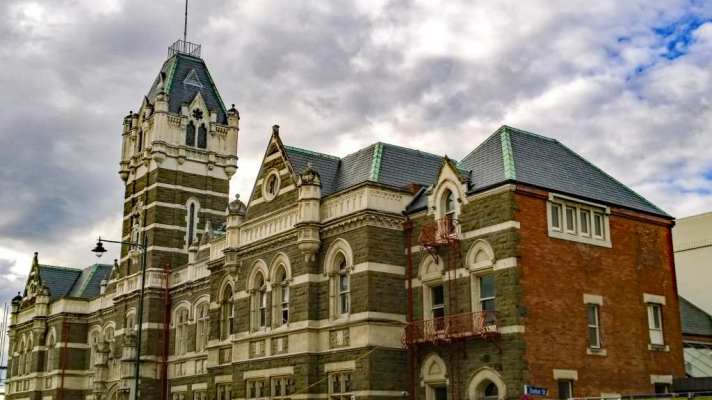
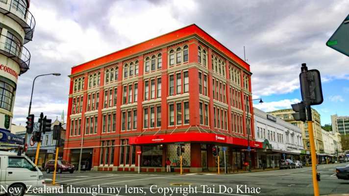
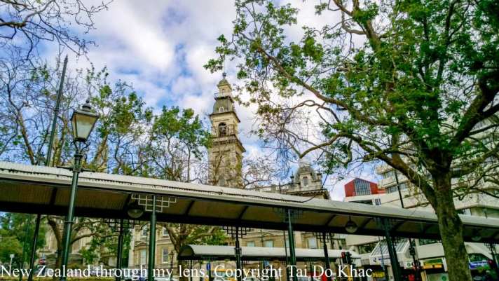
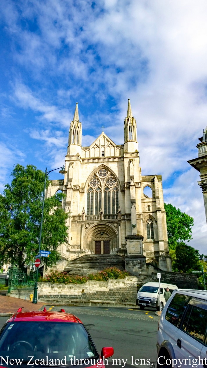
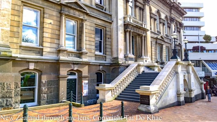
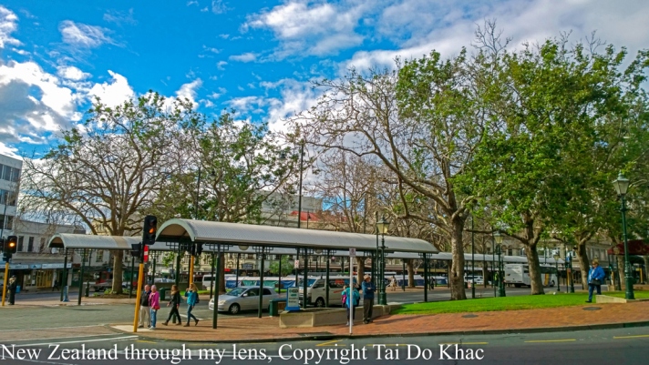
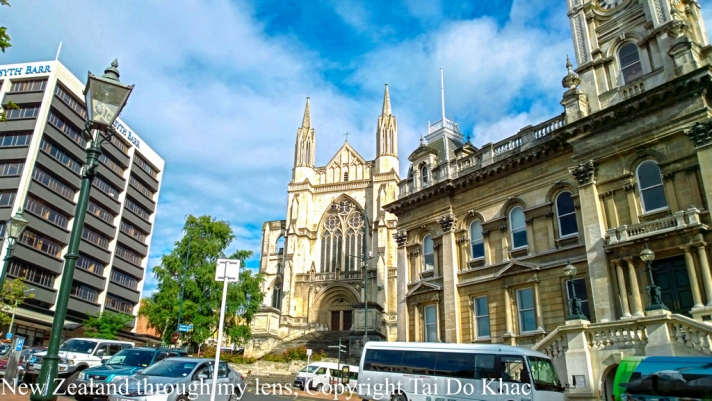
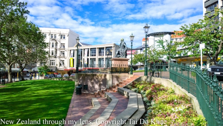
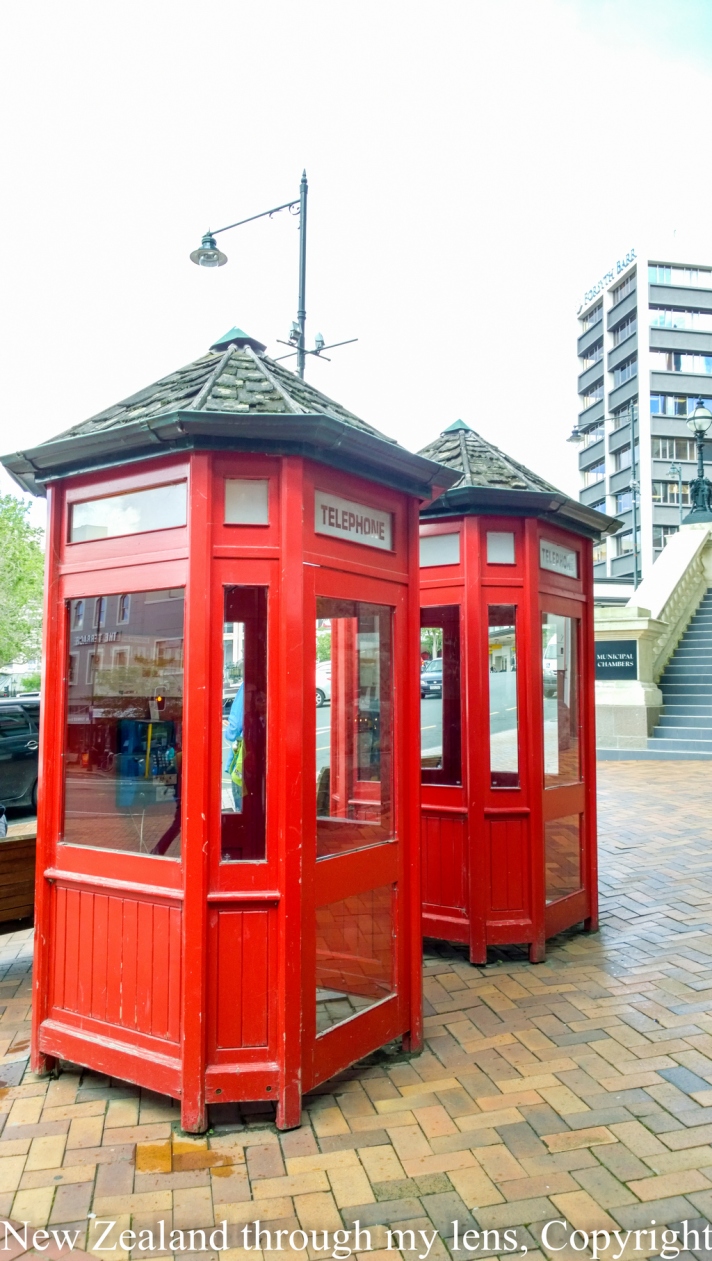
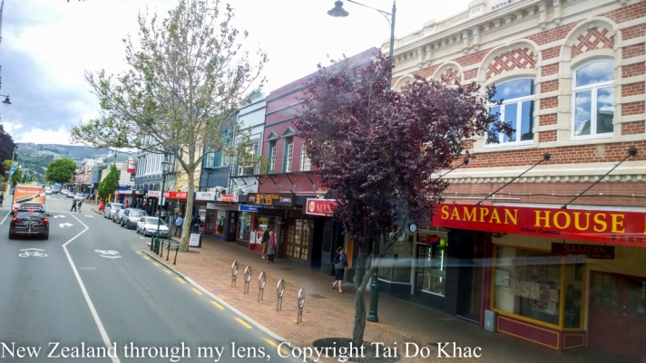
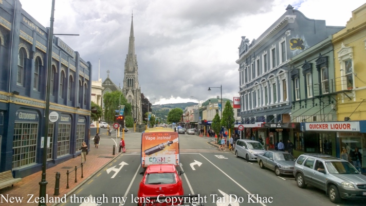
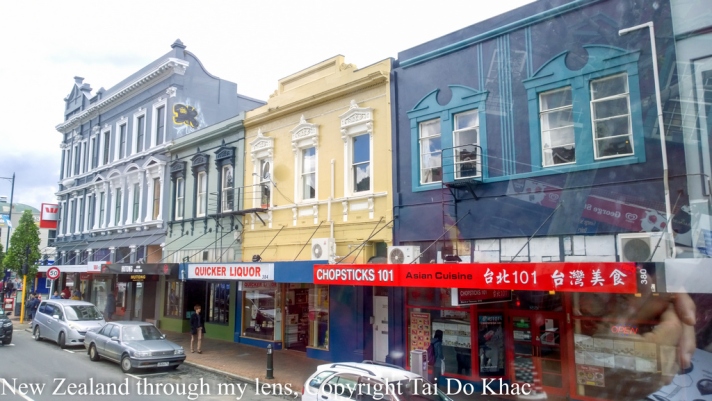
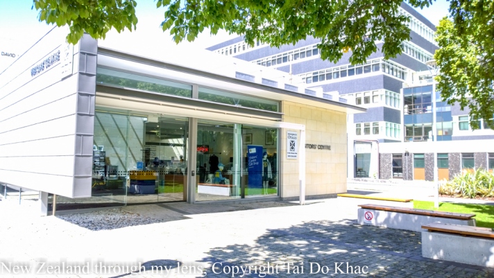
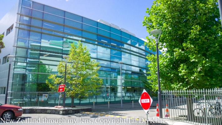
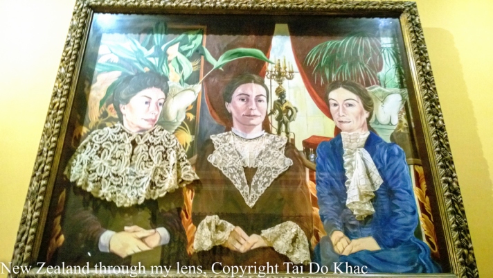
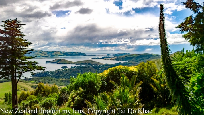
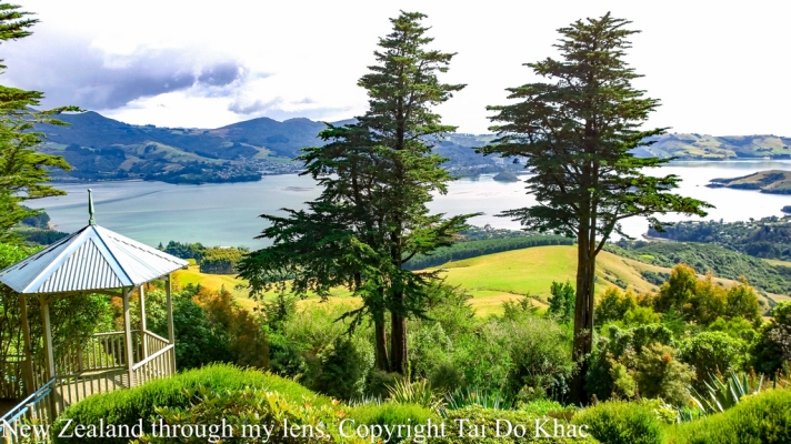
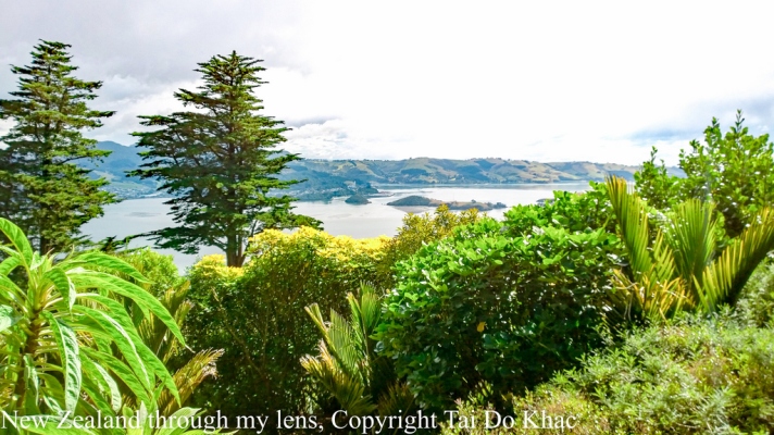
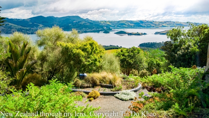
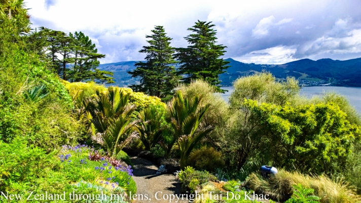
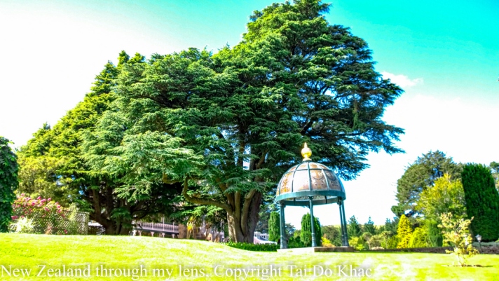
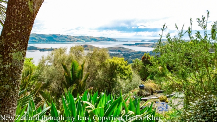
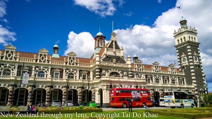
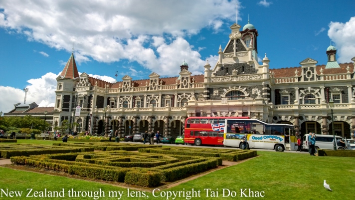
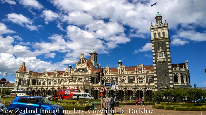
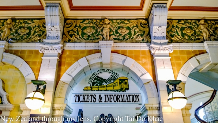
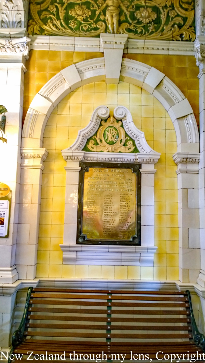
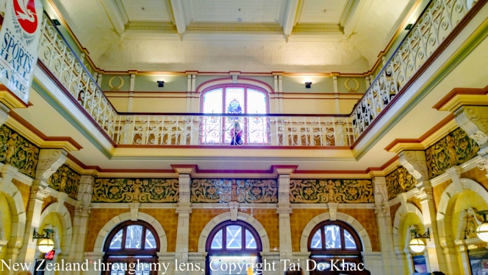
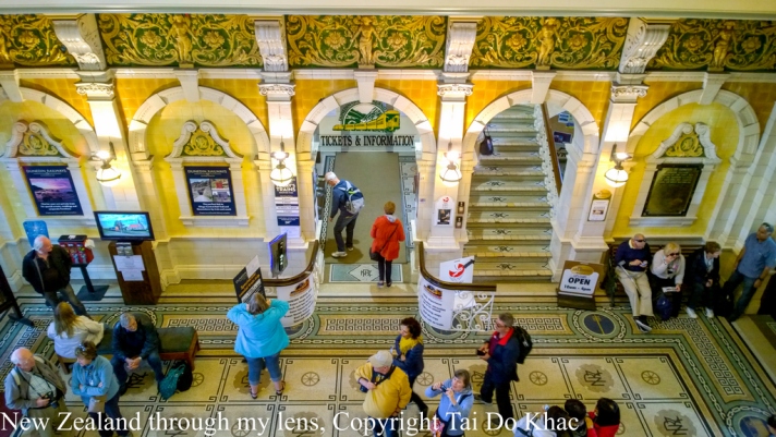
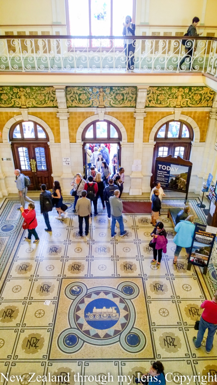
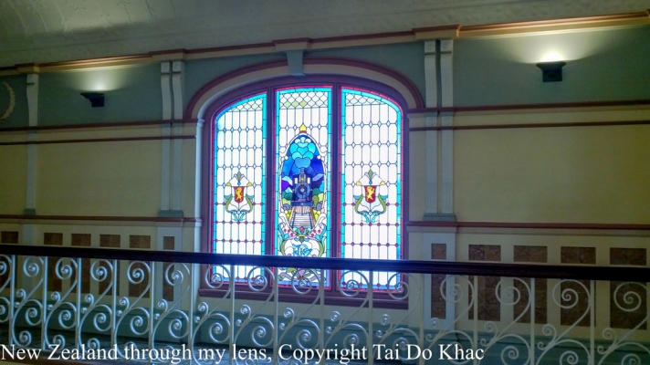
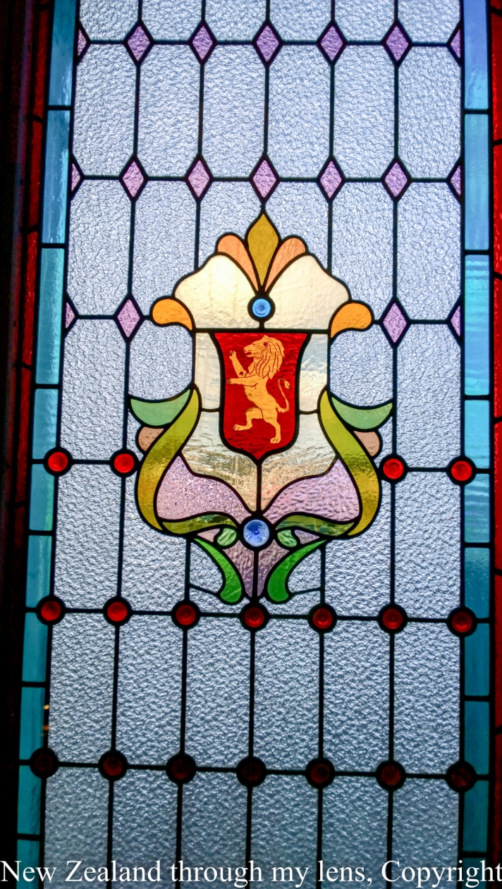
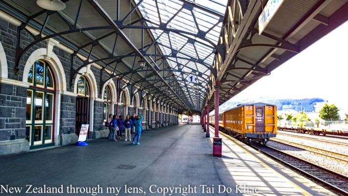
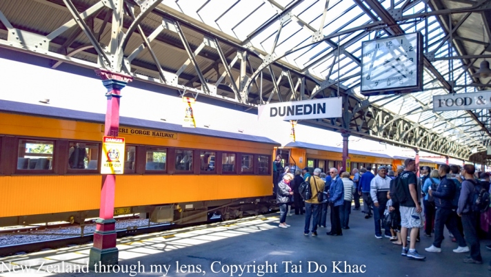
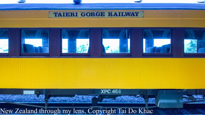
14 February 2017 08:00 Dunedin (port Chalmers), New Zealand 18:00
Dunedin is New Zealand’s best kept secret, located in the South Island this city is full of authentic welcoming characters that tell it like it is. With abundant wildlife on its door step and heritage buildings housing the great cafes and nightlife.
St Paul’s Cathedral
Phone booths in Central Dunedin
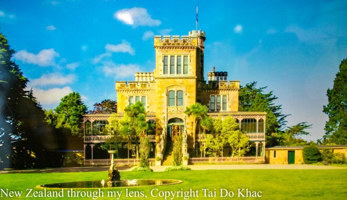
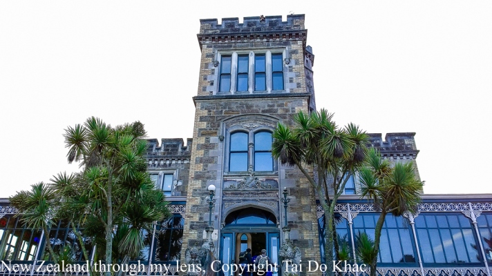
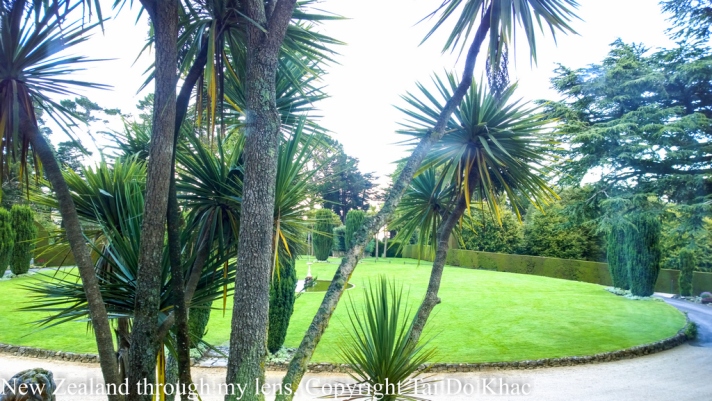
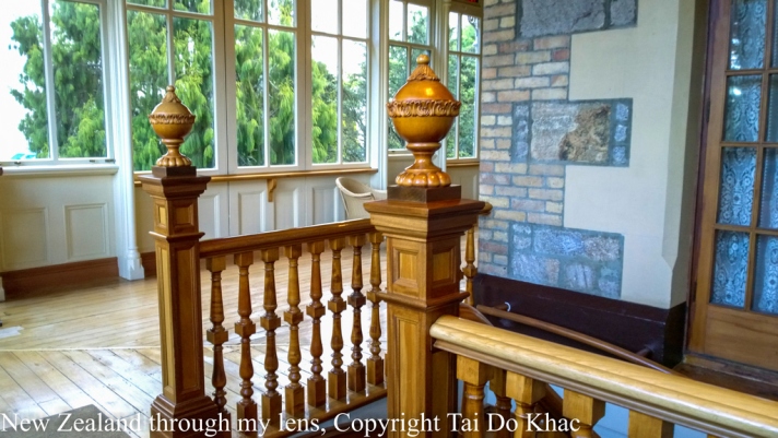
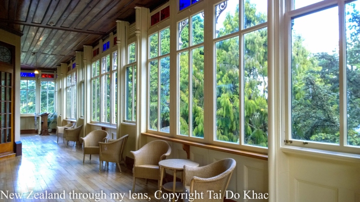
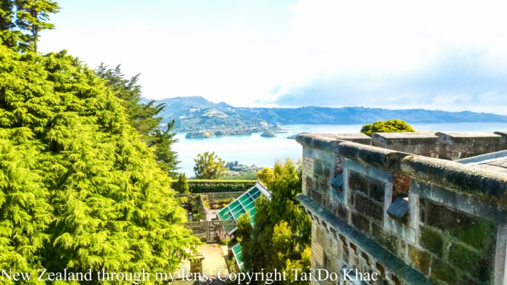
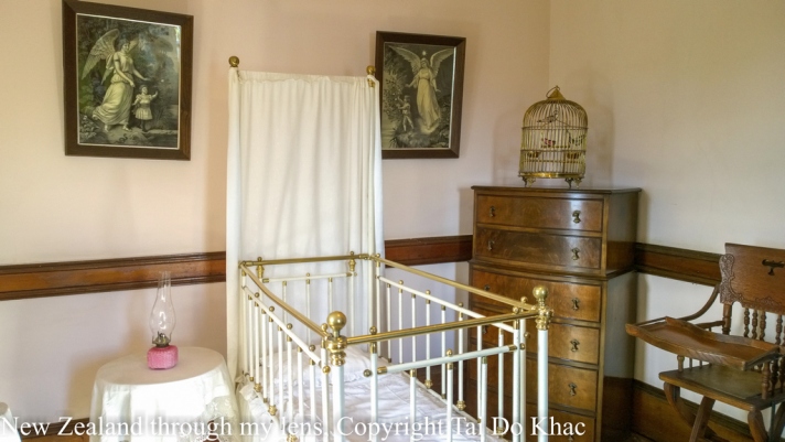
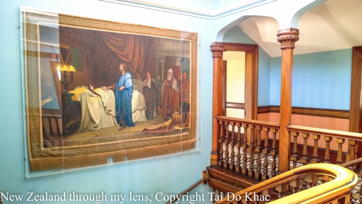
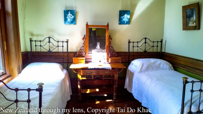
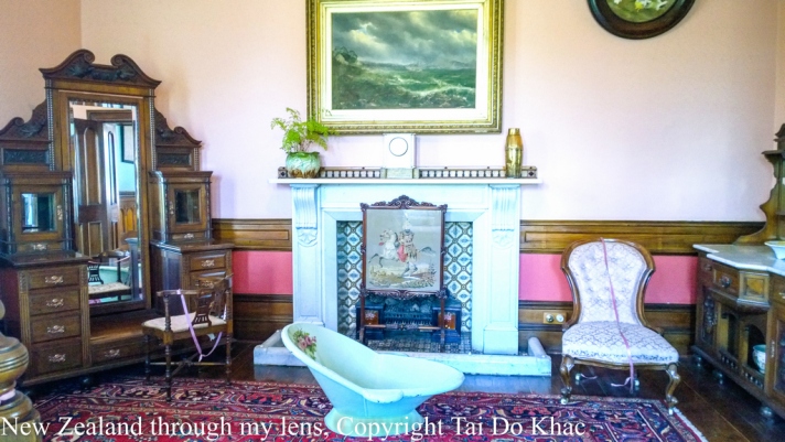
Larnach Castle, Otago Peninsula, Dunedin, 1871 erbaut
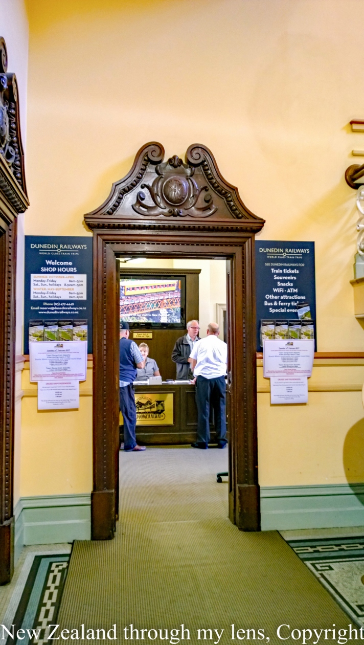
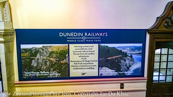
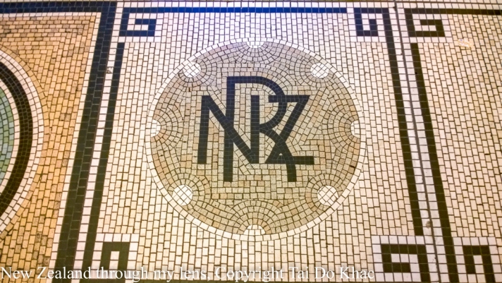
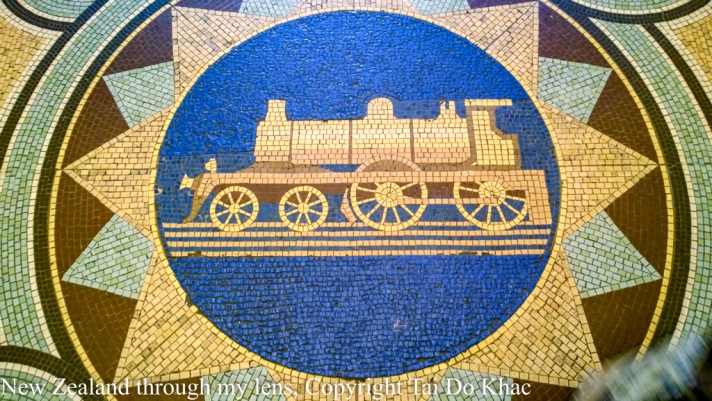
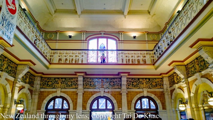
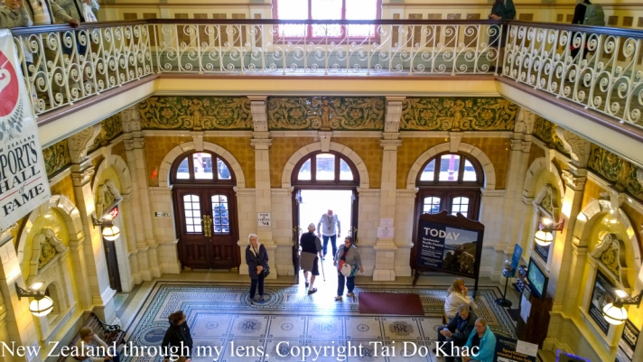
Dunedin Railways


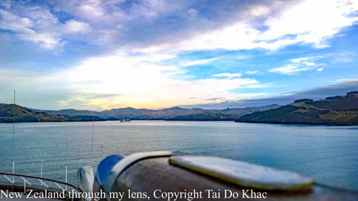
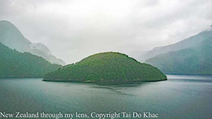
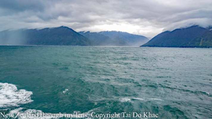
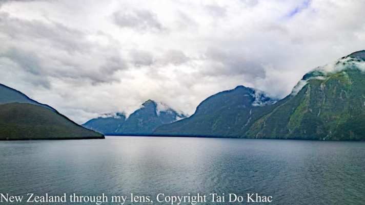
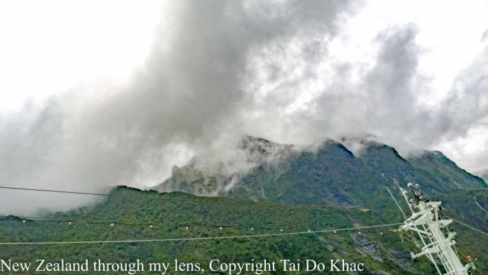
15 February 2017 08:00 Fiordland National Park Cruising, New Zealand 17:00
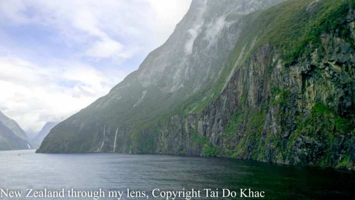
Milford Sound (Piopiotahi trong tiếng Māori) là một vịnh hẹp ở phía tây nam của đảo Nam của New Zealand, trong vườn quốc gia Fiordland, khu bảo tồn biển Piopiotahi (Milford Sound), và địa điểm di sản thế giới Te Wahipounamu.
Nó đã được đánh giá điểm đến du lịch hàng đầu thế giới trong một cuộc khảo sát quốc tế bởi TripAdvisor và được tuyên bố là điểm đến du lịch của New Zealand nổi tiếng nhất.
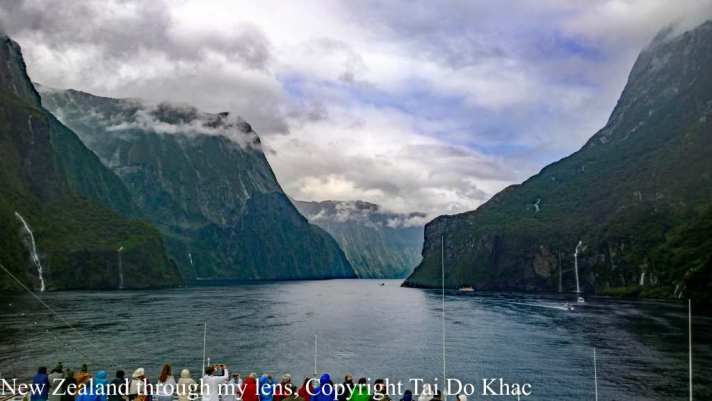
Milford Sound / Piopiotahi is a fiord in the south west of New Zealand’s South Island within Fiordland National Park, Piopiotahi (Milford Sound) Marine Reserve, and the Te Wahipounamu World Heritage site.
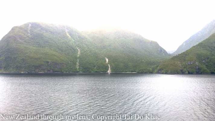
It has been judged the world’s top travel destination in an international survey and is acclaimed as New Zealand’s most famous tourist destination.
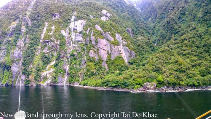
Le Milford Sound est situé dans le Sud-Ouest de l’île du Sud de la Nouvelle-Zélande, sur la côte Ouest qui donne sur la mer de Tasman. Inclus dans le parc national de Fiordland inscrit avec d’autres parcs néo-zélandais au patrimoine mondial de l’Unesco sous le nom de Te Wāhipounamu, il s’avance d’une quinzaine de kilomètres dans les terres, au cœur des Alpes du Sud.
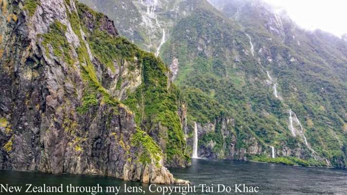
Les parois des montagnes qui l’encadrent atteignent par endroit plus de 1 200 mètres de dénivelé et culminent à 1 692 mètres d’altitude au Mitre Peak1, 1 517 mètres à The Elephant et 1 302 à Lion Mountain. La profondeur maximale du fjord dépasse quant à elle les 400 mètres.
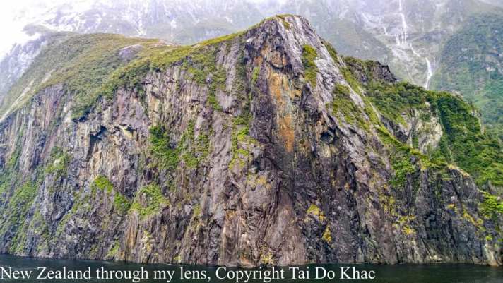
Der Milford Sound ist ein Fjord auf der Südinsel Neuseelands. Der 15 Kilometer lange Fjord ist die wichtigste Touristenattraktion des Fiordland-Nationalparks im Südwesten der Insel und gehört somit auch zum Weltnaturerbe der UNESCO. Der Milford Sound wurde nach dem walisischen Ort Milford Haven benannt. In der Sprache der Māori heißt er Piopiotahi.


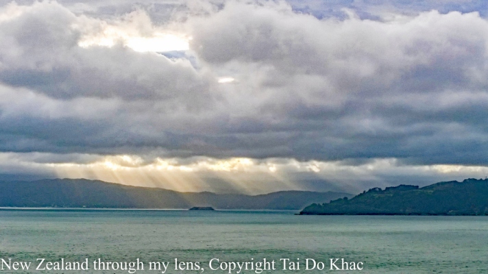
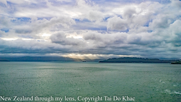
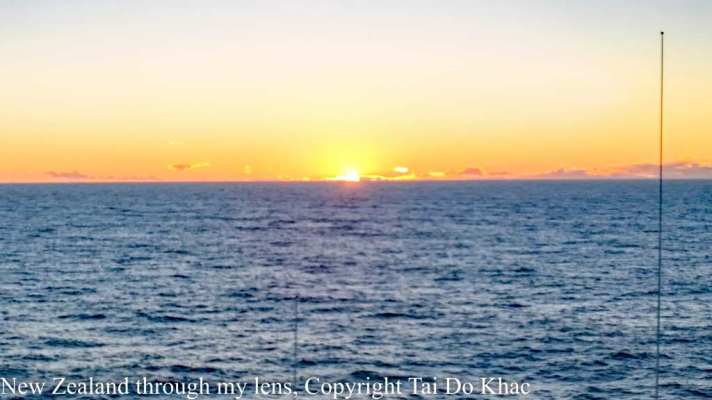
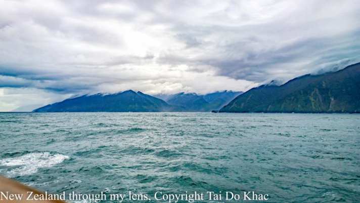
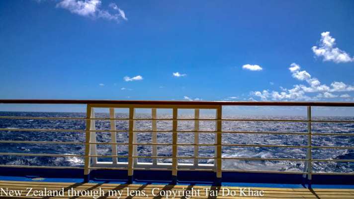
16 February 2017 Tasman Sea
17 February 2017 Tasman Sea
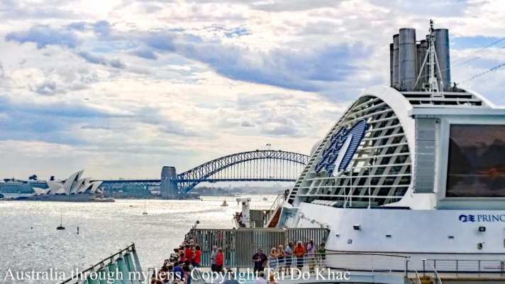
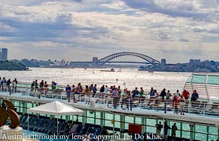
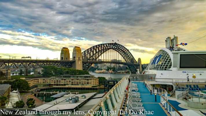
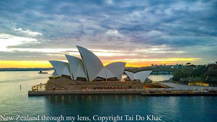
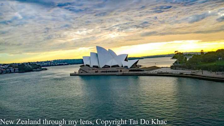
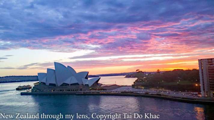
18 February 2017 07:00 Sydney
New Zealand through my lens ©, February 2017. Copyright T. Do Khac , February 2017
If you are shown on a picture and don’t want this let me know (write in comment ) and I will remove it.
_________________________________________________________________
[1] Wikipedia
